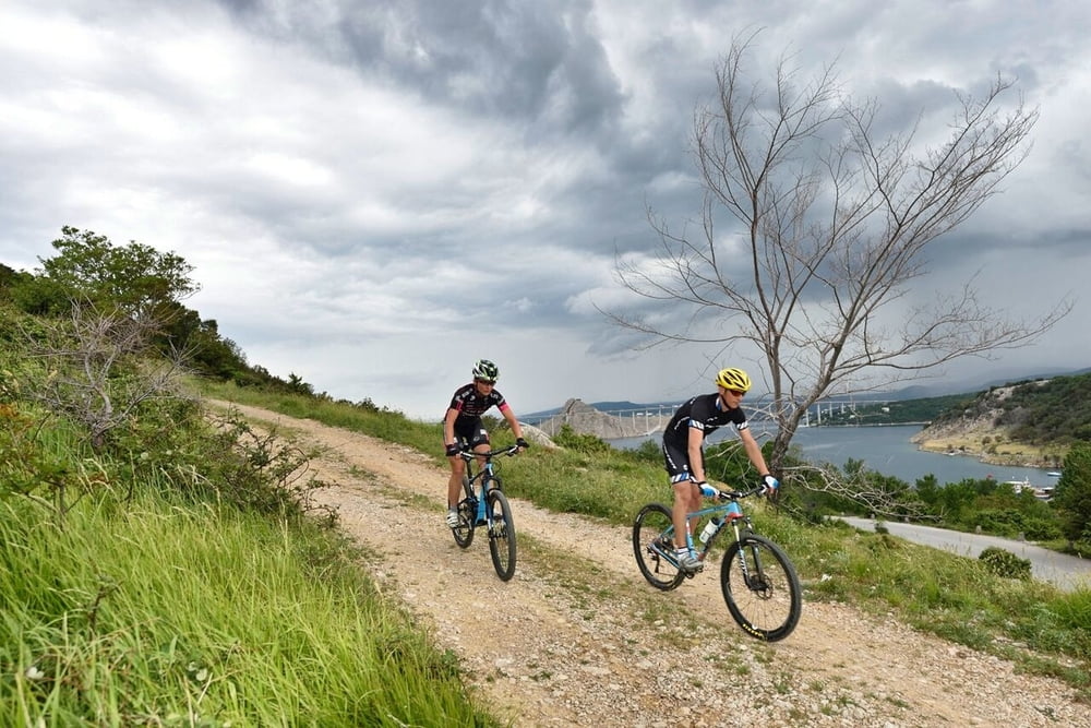
Odlična i zahtjevna MTB ruta koja će navući osmijeh i najzahtjevnijim ovisnicima o brdskom biciklizmu. Ruta kreće od Njivica prema Čižićima po zahtjevnom makadamu te nakon toga nastavlja uspinjanje sve do romantičnog gradića Dobrinja. Nakon Dobrinja nakon kraćeg vremena počinje fantastični spust po uskom singletrailu koji prelazi u makadam i vraća se ponovno u Njivice. Staza koju svi oni kojima je MTB u krvi nikako ne bi smjeli propustiti!
Excellent and demanding MTB route which will satisfy even the mountain biking addicts spoilt for choice. The route starts from Njivice and continues towards Čižići on a demanding macadam road and follows on ascent towards a small romantic town Dobrinj. Shortly after starts a fantastic downhill ride on a narrow single trail which turns into macadam and returns back to Njivice. The route, which all those to whom MTB is a lifestyle, should on no account miss!
www.adriabike.hr
www.njiviceresort.com
Tour map and elevation profile
Comments

GPS tracks
Trackpoints-
GPX / Garmin Map Source (gpx) download
-
TCX / Garmin Training Center® (tcx) download
-
CRS / Garmin Training Center® (crs) download
-
Google Earth (kml) download
-
G7ToWin (g7t) download
-
TTQV (trk) download
-
Overlay (ovl) download
-
Fugawi (txt) download
-
Kompass (DAV) Track (tk) download
-
Track data sheet (pdf) download
-
Original file of the author (gpx) download

