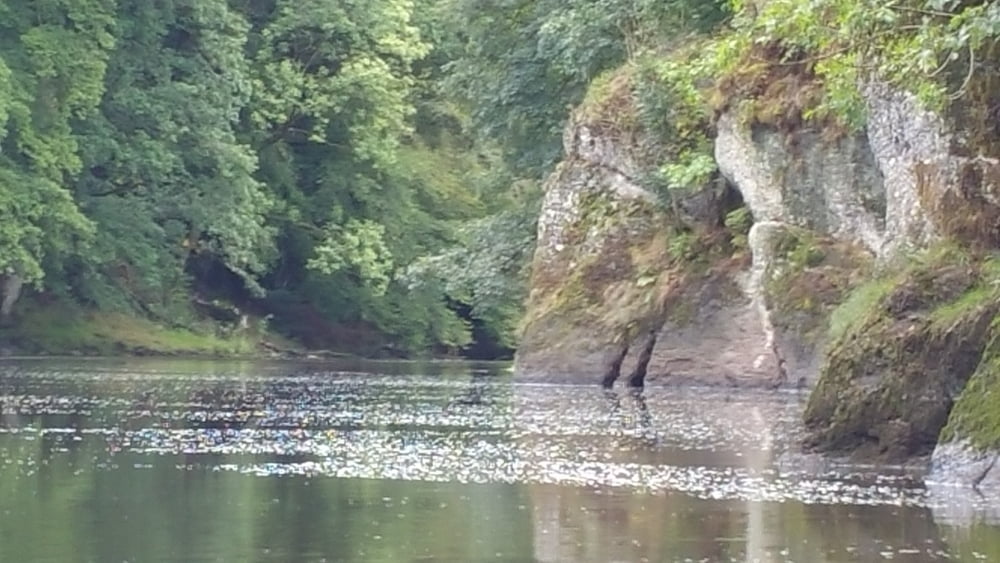
Die Semois (belg.) ist ein 210 km langer, landschaftlich schöner Kanuwanderfluß in den westlichen Ausläufern der Ardennen. Wir paddelten einen landschaftlich wunderschönen Teil zwischen Florenville und Bouillon von Morthan bis zum Campingplatz Makka einige Kilometer vor Dohan.
Die Semois ist ein Wanderfluss, der teilweise tief eingeschnitten durch die Täler der Ardennen meandert. Es bestehen keine besonderen Schwierigkeiten, ein paar kleine Schnellen sind auf dieser Strecke auch für Anfänger fahrbar, nur bei einem kleinen Wehr kann man sich entscheiden, ob man es fährt oder lieber umträgt.
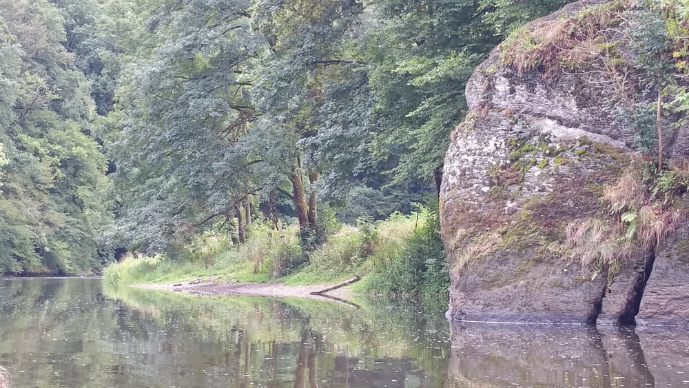
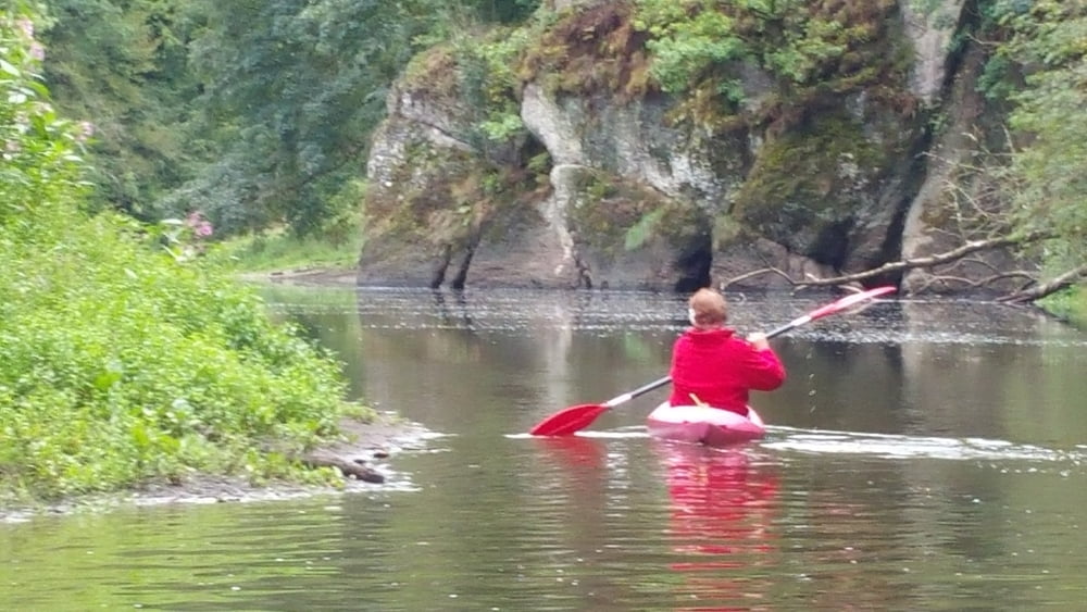
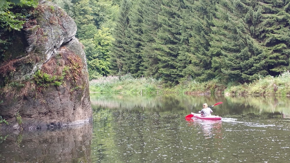
Landschaftlich ist die Semois hervorragend schön und naturbelassen. Gleich mehre Eisvögel bekamen wir in der einsamem großen Flussschleife vor dem Camping Makka zu Gesicht. Besonders schöne waren die Abschnitte, an denen Felsformationen direkt am Fluss lagen.
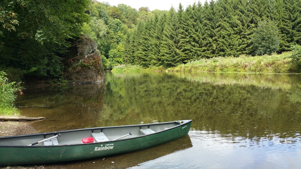
Die Boote liehen wir direkt auf dem Campingplatz in Morthan.
Die Semois unterliegt strengen Befahrungsregeln und das Paddeln ist nur über einem bestimmten Mindestpegel erlaubt. Auf der folgenden Internetseite erhaltet ihr aktuelle Informationen:
Aktuelle Befahrungsmöglichkeiten der Flüsse Wallonien
Further information at
http://www.waterweb.de/w/index.php?title=SemoisTour gallery
Tour map and elevation profile
Comments

GPS tracks
Trackpoints-
GPX / Garmin Map Source (gpx) download
-
TCX / Garmin Training Center® (tcx) download
-
CRS / Garmin Training Center® (crs) download
-
Google Earth (kml) download
-
G7ToWin (g7t) download
-
TTQV (trk) download
-
Overlay (ovl) download
-
Fugawi (txt) download
-
Kompass (DAV) Track (tk) download
-
Track data sheet (pdf) download
-
Original file of the author (gpx) download

