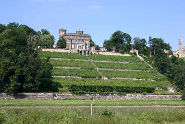
Die vorgestellte Route wird mit einem Besuch der Dresdner Innenstadt eingeleitet. Auf dem Elberadweg geht es in Richtung Südosten bis zur Laubegaster Schiffswerft. Hier biegt man ins Lockwitztal ein und steigt bis Possendorf auf ca. 300 Hm auf. Von der Trasse der Windbergbahn kann man schöne Ausblicke in das Poisental und ab Bannewitz in das Elbtal genießen. Über Freital-Burgk geht es in rasanter Schußfahrt an den Ausgangspunkt zurück.
Wegebeschaffenheit
Freital-Dresden Radwege bzw. wenig befahrene Straßen
Dresden Elberadweg Asphalt oder Kleinpflaster, Lockwitztal-Possendorf: kurze Abschnitte Sand, Pflaster, sonst Asphalt,
Trasse der Windbergbahn: Radweg mit 50 % Asphalt, 50 % guter Sandweg
Gastronomie gibt es allerorten. Cafe-Restaurant Lehmann in Kreischa erreicht man nach ca. 30 km.
Tour gallery
Tour map and elevation profile
Minimum height 103 m
Maximum height 302 m
Comments

Die Route kommt an drei Bahnhöfen vorbei: Freital-Potschappel (S-Bahn und Dresden-Chemnitz), Dresden-Freiberger Str. (S-Bahn), Dresden-Niedersedlitz (S-Bahn und Dresden - Prag). Hier sind ideale Start- und Endpunkte.
GPS tracks
Trackpoints-
GPX / Garmin Map Source (gpx) download
-
TCX / Garmin Training Center® (tcx) download
-
CRS / Garmin Training Center® (crs) download
-
Google Earth (kml) download
-
G7ToWin (g7t) download
-
TTQV (trk) download
-
Overlay (ovl) download
-
Fugawi (txt) download
-
Kompass (DAV) Track (tk) download
-
Track data sheet (pdf) download
-
Original file of the author (gpx) download
Add to my favorites
Remove from my favorites
Edit tags
Open track
My score
Rate


