


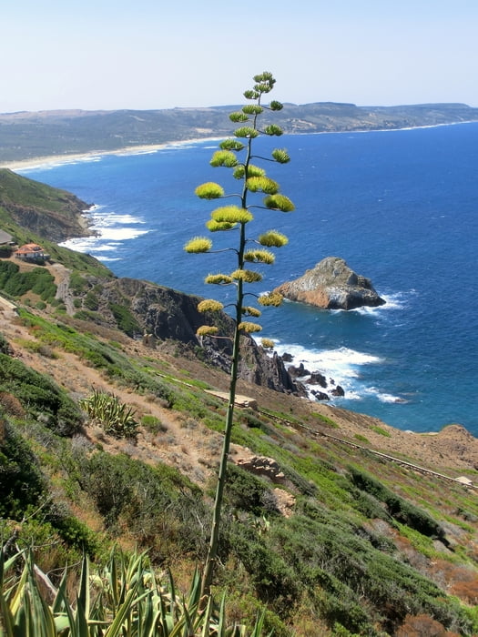
Wanderroute von Nebida entlang der Steilküste zur Bucht Porto Corallo. Unterwegs passiert man auch die Badebucht Porto Banda und die Bootsanlegestelle Porto Ferro. Von Porto Corallo hat man einen herrlichen Blick auf den Pan di Zucchero.
Ich habe der Tour mal eine vielleicht übertriebene Technik 3 verpasst, weil man zeitweilig direkt an den Klippen entlang geht und dabei eine geringfügig knifflige Stelle mit Stahlseilsicherung zu überwinden hat, weshalb man einigermaßen schwindelfrei sein sollte. Es kann zudem ganz schön heiß werden im Hochsommer - wir hatten so um die 35° und schwitzten wie nichts Gutes. Evtl. kann man über die Porto Corallo hinaus nach Masua gelangen. Ein Bus zurück nach Nebida fährt meines Wissens aber nicht, allerdings sicherlich Besucher des vielbesuchten Strands in Masua.
Unterkunftstipp: Über AirBnB im Tanca Piras/Nebida einmieten - Appartements mit herrlichen Meerblickbalkonen, Gemeinschaftspool und Restaurant. Zwei Tante-Emma-Läden in fußläufiger Entfernung. Tolle Strände in Masua und an der Cala Domestica.
Tour gallery


Tour map and elevation profile
Minimum height 3 m
Maximum height 154 m
More about the tour author
|
|
mackator |
Comments

Piazza Belvedere in Nebida
GPS tracks
Trackpoints-
GPX / Garmin Map Source (gpx) download
-
TCX / Garmin Training Center® (tcx) download
-
CRS / Garmin Training Center® (crs) download
-
Google Earth (kml) download
-
G7ToWin (g7t) download
-
TTQV (trk) download
-
Overlay (ovl) download
-
Fugawi (txt) download
-
Kompass (DAV) Track (tk) download
-
Track data sheet (pdf) download
-
Original file of the author (gpx) download
More about the tour author
|
|
mackator |
Add to my favorites
Remove from my favorites
Edit tags
Open track
My score
Rate