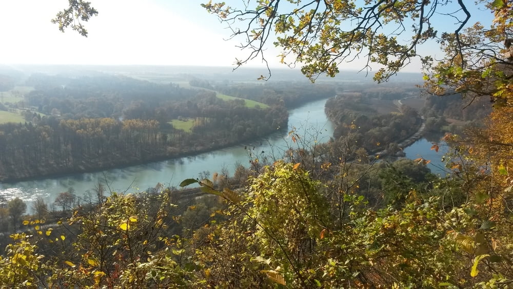
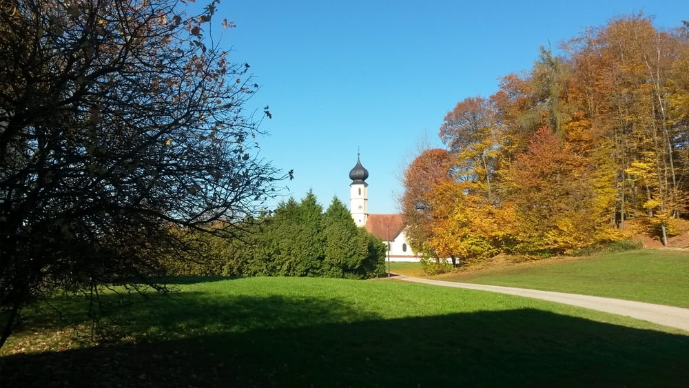
Ein kurzer Anstieg führt auf einen wunderbaren Aussichtspunkt hoch über dem Inn auf der Höhe der Mündung der Alz. Gemütlich geht es weiter nach Leonberg und weiter auf der Straße nach Marktl, zum Teil durch lichten Buchenwald, bis zur Abzweigung nach Wang. Dort steil hinunter zum Marktler Badesee und zurück zum Parkplatz.
Further information at
http://www.inn-salzach.com/de/marktler-innleite-mit-dachlwand/Tour gallery
Tour map and elevation profile
Minimum height 346 m
Maximum height 603 m
Comments

GPS tracks
Trackpoints-
GPX / Garmin Map Source (gpx) download
-
TCX / Garmin Training Center® (tcx) download
-
CRS / Garmin Training Center® (crs) download
-
Google Earth (kml) download
-
G7ToWin (g7t) download
-
TTQV (trk) download
-
Overlay (ovl) download
-
Fugawi (txt) download
-
Kompass (DAV) Track (tk) download
-
Track data sheet (pdf) download
-
Original file of the author (gpx) download
Add to my favorites
Remove from my favorites
Edit tags
Open track
My score
Rate


