


Teer und Forstwegauffahrt bis Burgeralm; dann steil zum Wandberg (100Hm) und steil auf trail (s1-s2) wieder runter; Querung zur Priener Hütte; noch ca 100Hm rauf bis zu einer Alm; von dort zuerst leicht (S0) dann etwas schwerer (S1-S2) runter auf Jägersteig Richtung Huben. Wer noch wieter raufkurbeln möchte kann den trail an der Abzeigung auch noch bis Huben durchfahren. (+500HM).
Wir sind wieder retour bis zum Wandberhaus und dann rüber zum Lachner Horn.
Die Abfahrt nach Winkl ist ein 600Hm S2+ Trail Schmankerl.
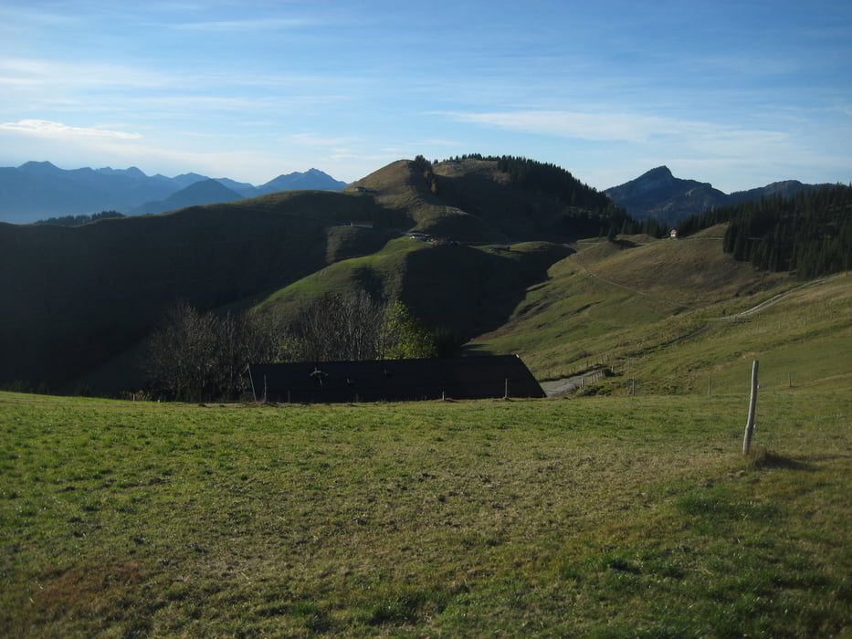
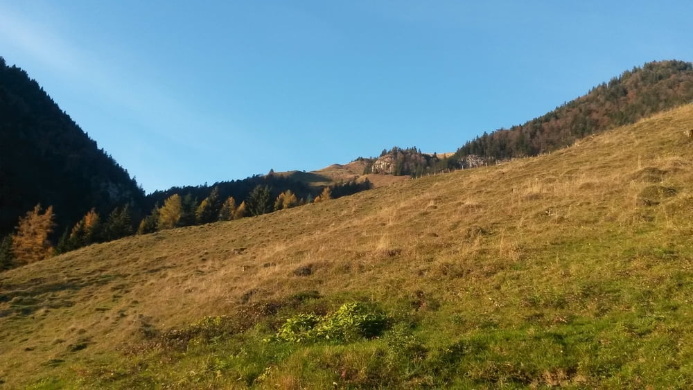
Landschaftlich: man hat stets Traumblicke auf den Hauptkamm, den Kaiser und das Inntal;
Die Tour ist fast nur in der Sonne, also Top für den späten Herbst oder Frühjahr geeignet.
Tour gallery

Tour map and elevation profile
Minimum height 654 m
Maximum height 1505 m
More about the tour author

|
trailhunterM |
Comments

von BAB Oberaudorf bis Durchholzen kurz vor dem Walchsee
GPS tracks
Trackpoints-
GPX / Garmin Map Source (gpx) download
-
TCX / Garmin Training Center® (tcx) download
-
CRS / Garmin Training Center® (crs) download
-
Google Earth (kml) download
-
G7ToWin (g7t) download
-
TTQV (trk) download
-
Overlay (ovl) download
-
Fugawi (txt) download
-
Kompass (DAV) Track (tk) download
-
Track data sheet (pdf) download
-
Original file of the author (gpx) download
More about the tour author
|
|
trailhunterM |
Add to my favorites
Remove from my favorites
Edit tags
Open track
My score
Rate