
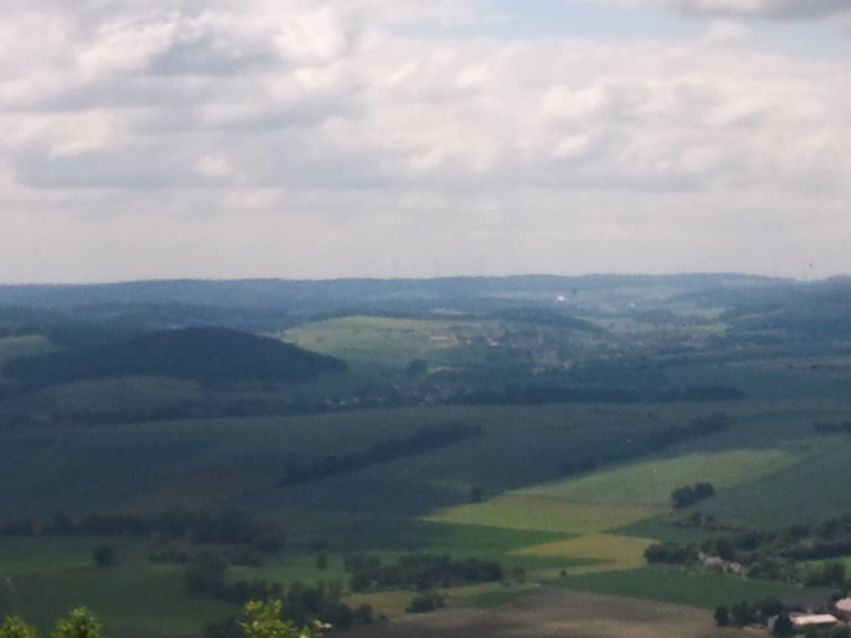

Von Bad Zwesten über Oberurff - Gilsa - Waltersbrück zum Zimmersroder See und weiter über Haarhausen - Borkener See zum Singliser See und Kerstenhausen nach Bad Zwesten.
Schöne leichte Radtour ohne große Höhenunterschiede ideal um Grundlagenkondition zu trainieren oder im Sommer mal kurz in einem der Seen zu baden.
Further information at
https://www.facebook.com/pages/Kellerwald-Bike-Tours/1392434991007426Tour map and elevation profile
Minimum height 189 m
Maximum height 293 m
More about the tour author

|
kitebike |
Comments

Bad Zwesten erreicht man von Norden und Süden über die B3. Gute Parkmöglichkeit am REWE Markt (Chaumont Allee) gut von der Bundestraße B3 sichtbar.
GPS tracks
Trackpoints-
GPX / Garmin Map Source (gpx) download
-
TCX / Garmin Training Center® (tcx) download
-
CRS / Garmin Training Center® (crs) download
-
Google Earth (kml) download
-
G7ToWin (g7t) download
-
TTQV (trk) download
-
Overlay (ovl) download
-
Fugawi (txt) download
-
Kompass (DAV) Track (tk) download
-
Track data sheet (pdf) download
-
Original file of the author (gpx) download
More about the tour author
|
|
kitebike |
Add to my favorites
Remove from my favorites
Edit tags
Open track
My score
Rate