


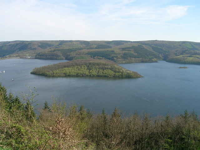
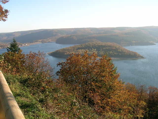
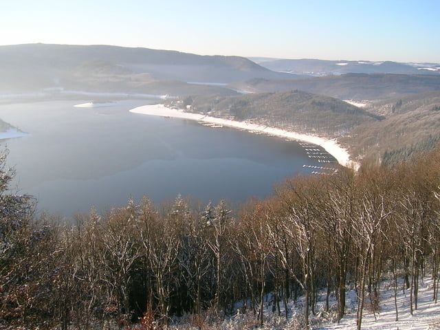
Dieser Eifel-Blick auf der "Simonsley" bietet Ihnen oberhalb des Rursees in südost- bis südwestlicher Richtung einen beeindruckendes Panorama, wobei der "Kermeter", ein Kernbereich des Nationalpark Eifel, die Blicke auf sich zieht.
An der "Simonsley" wurde bis ins 19. Jahrhundert Eisenerz abgebaut. Der Gründer der Eisenhütte in Simonskall, Simon Kremer, besaß an dieser Stelle im 17. Jahrhundert Abbaurechte und betrieb eine Eisenerzgrube, so dass der Name "Simonsley" (Ley = Felsen) noch heute darauf verweist. Darüber hinaus findet man hier ehemalige Stollen und Pingen (Erdhügel mit Vertiefungen) die auf eine rege Grabungstätigkeit schließen lassen.
Further information at
http://www.ferienwohnung-dick.com/Tour gallery

Tour map and elevation profile
Minimum height 354 m
Maximum height 426 m
More about the tour author
|
|
Brunodick |
Comments

52385 Nideggen-Schmidt, Heimbacherstr.29
GPS tracks
Trackpoints-
GPX / Garmin Map Source (gpx) download
-
TCX / Garmin Training Center® (tcx) download
-
CRS / Garmin Training Center® (crs) download
-
Google Earth (kml) download
-
G7ToWin (g7t) download
-
TTQV (trk) download
-
Overlay (ovl) download
-
Fugawi (txt) download
-
Kompass (DAV) Track (tk) download
-
Track data sheet (pdf) download
-
Original file of the author (gpx) download
More about the tour author
|
|
Brunodick |
Add to my favorites
Remove from my favorites
Edit tags
Open track
My score
Rate