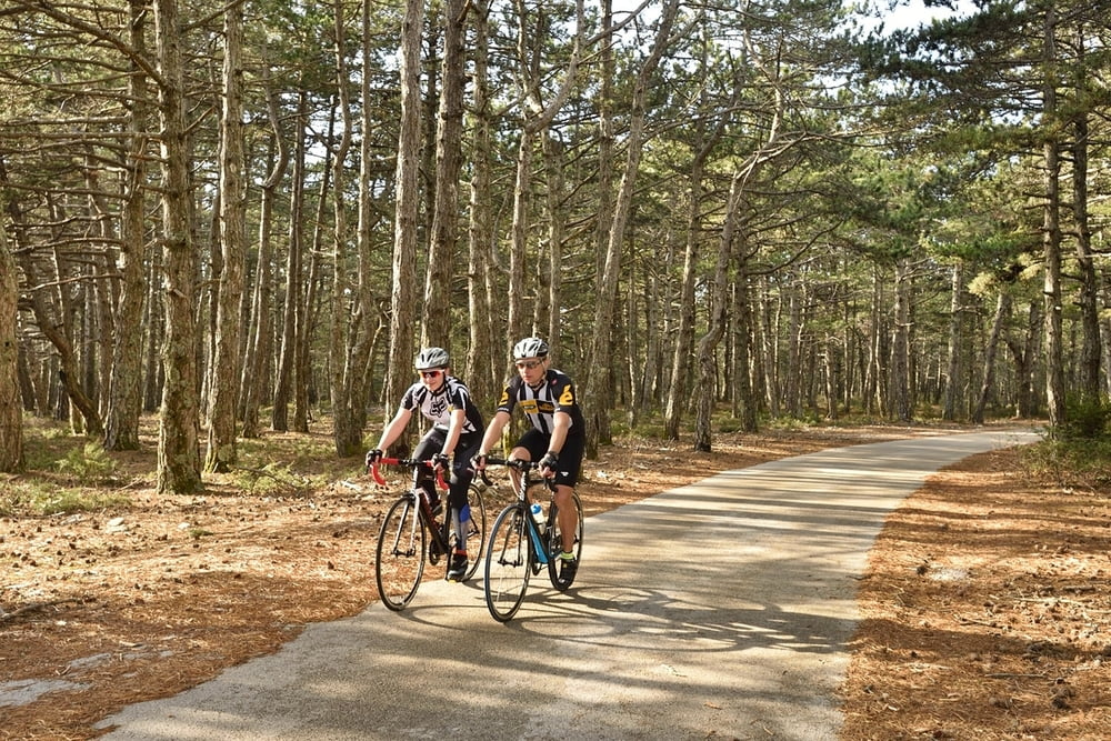
Ova staza nudi idealan bijeg od stvarnosti. Navigacijski je vrlo jednostavna pa sve što trebate jest uzeti bicikli i odpedalirati na najviši otočki vrh - Vidovu goru - i uživati u predivnom pogledu na otočki arhipelag. Nakon takvog punjenja baterija, povratak je znatno lakši s obzirom na konfiguraciju terena I visinski profil.
This track offers a perfect chance to escape from reality. In navigational terms it is very simple and all you have to do is take your bike and climb the highest mountain peak on the island - Vidova gora - and enjoy a beautiful view over the island archipelago. After you recharge your batteries, way back is easier due to elevation profil od this rade.
Tour gallery
Tour map and elevation profile
Comments

GPS tracks
Trackpoints-
GPX / Garmin Map Source (gpx) download
-
TCX / Garmin Training Center® (tcx) download
-
CRS / Garmin Training Center® (crs) download
-
Google Earth (kml) download
-
G7ToWin (g7t) download
-
TTQV (trk) download
-
Overlay (ovl) download
-
Fugawi (txt) download
-
Kompass (DAV) Track (tk) download
-
Track data sheet (pdf) download
-
Original file of the author (gpx) download


