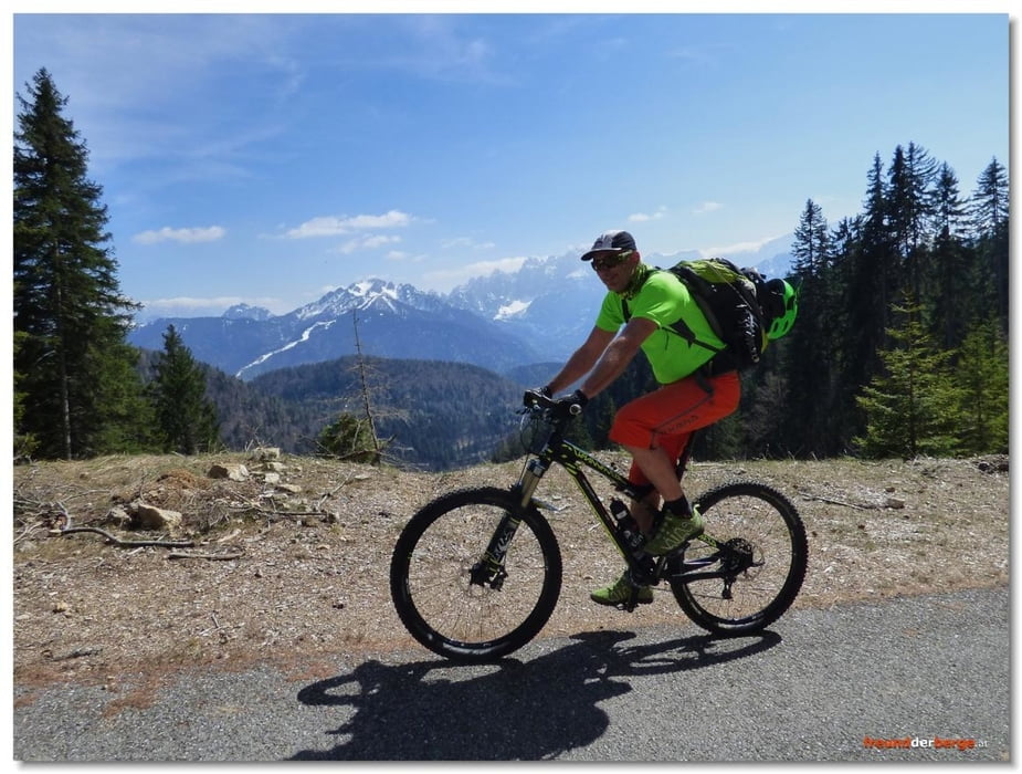
Von der Achomitzer Alm führt ein Wanderweg vorbei am "Cima Muli" nach Camporosso (CAI 509a); Dieser ist inzwischen deutlich erkennbar gerne von MTBern genutzt und überwiegend wunderbar flowig, hat aber auch ein paar Zuckerln in Form von steilen Schrägfahrten, Spitzkehren und Wurzelpassagen parat. Auf die Alm kann man auf verschiedenste Weise gelangen, doch erscheint mir die hier dargelegte Variante als die schönste: Start und Ziel bei der beliebten Jausenstation "DAWIT" am Ortsende von Tarvis; Am Ciclovia Alpe Adria bis Ugovizza und auf Asphalt bis zur Hubertuskapelle. Dann noch ein paar Höhenmeter auf einem Forstweg. Im Bereich der Almgebäude Möglichkeit zum Umziehen, leider jedoch keine bewirtschaftete Einkehr.
Further information at
http://freundderberge.at/2016/MTBAchomitzer1601/Tour gallery
Tour map and elevation profile
Comments

Mit PKW bis Tarvisio/Camporosso, Start und Ziel bei der beliebten Jausenstation "DAWIT" am Ortsende von Tarvis; Am Ciclovia Alpe Adria bis Ugovizza.
GPS tracks
Trackpoints-
GPX / Garmin Map Source (gpx) download
-
TCX / Garmin Training Center® (tcx) download
-
CRS / Garmin Training Center® (crs) download
-
Google Earth (kml) download
-
G7ToWin (g7t) download
-
TTQV (trk) download
-
Overlay (ovl) download
-
Fugawi (txt) download
-
Kompass (DAV) Track (tk) download
-
Track data sheet (pdf) download
-
Original file of the author (gpx) download


