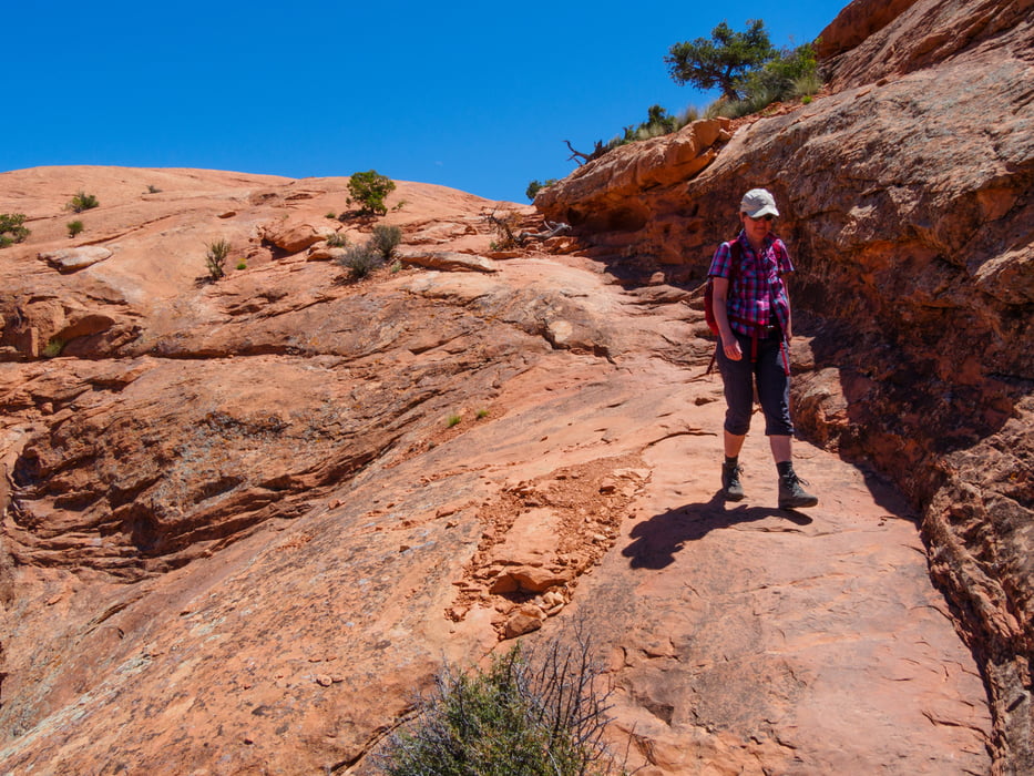
Moderate trail.
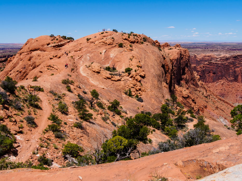
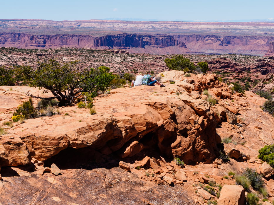
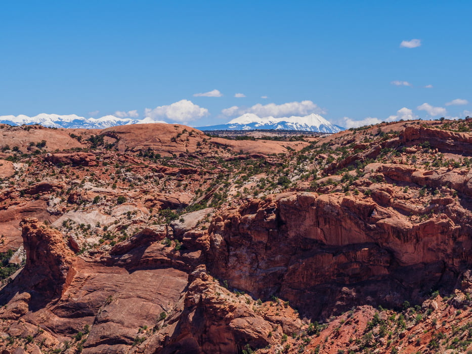
View of intriguing rock formation. Hiking to second overlook adds 1 mi/1.5 km and 50 ft/15 m.
View of intriguing rock formation. Hiking to second overlook adds 1 mi/1.5 km and 50 ft/15 m.
Tour gallery
Tour map and elevation profile
Minimum height 1699 m
Maximum height 1761 m
Comments

Island in the Sky - 33 miles from Moab on UT 313
Ab Moab nordwärts auf 191 dan nach Westen auf 313.
Entrance Fees: 25$ pro Auto (oder Anuall pass)
GPS tracks
Trackpoints-
GPX / Garmin Map Source (gpx) download
-
TCX / Garmin Training Center® (tcx) download
-
CRS / Garmin Training Center® (crs) download
-
Google Earth (kml) download
-
G7ToWin (g7t) download
-
TTQV (trk) download
-
Overlay (ovl) download
-
Fugawi (txt) download
-
Kompass (DAV) Track (tk) download
-
Track data sheet (pdf) download
-
Original file of the author (gpx) download
Add to my favorites
Remove from my favorites
Edit tags
Open track
My score
Rate


