Login

Forgotten password?

Cookies have to be accepted!
Your browser's cookie functionality is disabled. Please enable this functionality.

Not a member yet?

Register now
Login

Available for registred users only

Log in to use this feature.

Forgotten password?

Cookies have to be accepted!
Your browser's cookie functionality is disabled. Please enable this functionality.

Not a member yet?

Register now
Filter
Categories
Advanced filters
  • Distance (km)
  • Height
Save filters Reset filter

TrackRank

QRCode

Technical data

Distance18,1 km Height64 m Way down79 m Duration04:30 h:m Date28.06.2016
Scores Author Landscape Fun factor Fitness Technique

Statistics

379 Views Scores 29 Downloads Average
Rate
  • Track data sheet
  • Directions
  • Downloads

Idyllische Pfade und kleine Wege führen durch abwechslungsreiche Landschaften und auch so manche kulturelle Sehenswürdigkeit liegt auf der Route.
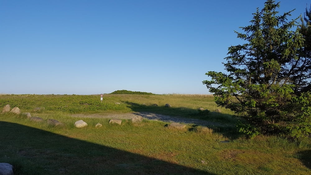
Sie durchwandern einige der schönsten Heidegebiete, wie beispielsweise Professoren Plantage.Es ist ein wunderschönes Heidegebiet mit Wachholderbüschen, Besenheide und Blumen, umgeben von üppigem Mischwald und dem Strand.Einen Grillplatz und Picknickbänke gibt es hier natürlich auch, man könnte sogar in den Schlafhütten nächtigen. Das ist zwar nicht so komfortabel wie im Ferienhaus, aber sicher eine spannendes Urlaubserlebnis für Kinder. Nur die Verpflegung müssen Sie mitbringen, zu kaufen gibt es hier nichts.Im hintergrung befinden sich Toiletten und trinkwasser.


Tour gallery

Tour map and elevation profile

  • Open Street Map
  • Google
Minimum height -3 m Maximum height 26 m Detailed view

More about the tour author

ajdda
Member since 2011

Send private message

Comments

Lyngså Strand, der sich zwischen Sæby und Voerså erstreckt, ist breit und hat hohe Dünen mit warmen Mulden, und das Wasser ist seicht, ruhig und außerordentlich kinderfreundlich. Die Wasserqualität ist Spitze, und darum weht am Strand jedes Jahr die Blaue Umweltflagge.

GPS tracks

Trackpoints
  • GPX / Garmin Map Source (gpx) download
  • TCX / Garmin Training Center® (tcx) download
  • CRS / Garmin Training Center® (crs) download
  • Google Earth (kml) download
  • G7ToWin (g7t) download
  • TTQV (trk) download
  • Overlay (ovl) download
  • Fugawi (txt) download
  • Kompass (DAV) Track (tk) download
  • Track data sheet (pdf) download
  • Original file of the author (gpx) download

More about the tour author

ajdda
Member since 2011

Send private message
Share track
Add to my favorites
Remove from my favorites
Edit tags
My score
Rate
Track: Nordjütland Lyngsa Rundwanderung
Type: Hiking
Distance: 18,1 km
Evaluated on:
Duration:
Day(s)
Hour(s)
Minute(s)
Score: Landscape Fun factor Fitness Technique