Login

Forgotten password?

Cookies have to be accepted!
Your browser's cookie functionality is disabled. Please enable this functionality.

Not a member yet?

Register now
Login

Available for registred users only

Log in to use this feature.

Forgotten password?

Cookies have to be accepted!
Your browser's cookie functionality is disabled. Please enable this functionality.

Not a member yet?

Register now
Filter
Categories
Advanced filters
  • Distance (km)
  • Height
Save filters Reset filter

TrackRank

QRCode

Technical data

Distance24,5 km Height888 m Way down871 m Duration02:17 h:m Date12.07.2016
Scores Author Landscape Fun factor Fitness Technique

Statistics

410 Views Scores 90 Downloads Average
Rate
  • Track data sheet
  • Directions
  • Downloads

Wagrain-Schüttalm-Kleinarl-Wagrain

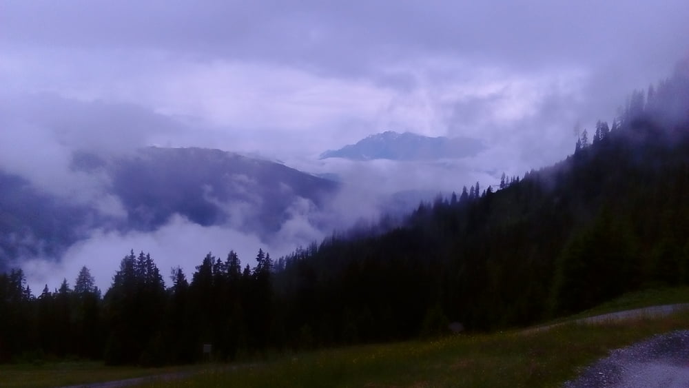
Vom Starkregen zum Sonnenschein und zurück.
Angenehm zu fahren.
 

Tour map and elevation profile

  • Open Street Map
  • Google
Minimum height 854 m Maximum height 1702 m Detailed view

More about the tour author

mitter
Member since 2008

Send private message

Comments

Start in Wagrain am Kirchboden.


GPS tracks

Trackpoints
  • GPX / Garmin Map Source (gpx) download
  • TCX / Garmin Training Center® (tcx) download
  • CRS / Garmin Training Center® (crs) download
  • Google Earth (kml) download
  • G7ToWin (g7t) download
  • TTQV (trk) download
  • Overlay (ovl) download
  • Fugawi (txt) download
  • Kompass (DAV) Track (tk) download
  • Track data sheet (pdf) download
  • Original file of the author (gpx) download

More about the tour author

mitter
Member since 2008

Send private message
Share track
Add to my favorites
Remove from my favorites
Edit tags
My score
Rate
Track: Schüttalm 160712
Type: Mountain bike
Distance: 24,5 km
Evaluated on:
Duration:
Day(s)
Hour(s)
Minute(s)
Score: Landscape Fun factor Fitness Technique