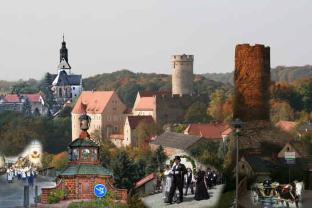
Von Wald bis Strasse, von Flach bis Bergig entlang schöner Ortschaften.
Die Runde bietet alles für einen angenehmen Tagesausflug mit der Familie oder eine sportliche Runde mal zwischen durch.
Reichlich Einkehrmöglichkeiten sind vorhanden.
Sehenswert: Burg Gnandstein, Irrgarten der Sinne im Lindenvorwerk, Töpferstadt Kohrensahlis.
Tour gallery
Tour map and elevation profile
Minimum height 170 m
Maximum height 258 m
Comments

GPS tracks
Trackpoints-
GPX / Garmin Map Source (gpx) download
-
TCX / Garmin Training Center® (tcx) download
-
CRS / Garmin Training Center® (crs) download
-
Google Earth (kml) download
-
G7ToWin (g7t) download
-
TTQV (trk) download
-
Overlay (ovl) download
-
Fugawi (txt) download
-
Kompass (DAV) Track (tk) download
-
Track data sheet (pdf) download
-
Original file of the author (gpx) download
Add to my favorites
Remove from my favorites
Edit tags
Open track
My score
Rate


