Login

Forgotten password?

Cookies have to be accepted!
Your browser's cookie functionality is disabled. Please enable this functionality.

Not a member yet?

Register now
Login

Available for registred users only

Log in to use this feature.

Forgotten password?

Cookies have to be accepted!
Your browser's cookie functionality is disabled. Please enable this functionality.

Not a member yet?

Register now
Filter
Categories
Advanced filters
  • Distance (km)
  • Height
Save filters Reset filter

TrackRank

QRCode

Technical data

Distance43,3 km Height879 m Way down862 m Duration03:34 h:m Date09.08.2016
Scores Author Landscape Fun factor Fitness Technique

Statistics

711 Views Scores 153 Downloads Average
Rate
  • Track data sheet
  • Directions
  • Downloads

Schluchsee > Caritas Haus > Feldberg Ort >Sankt Blasien >Häusern >Blasiwald >Schluchsee

Besonderheiten:

Einkehrmöglichkeiten z.B. Menzenschwander Hütte/Feldberg; Althütte/ Blasiwald

Dom St. Blasien mit der damals drittgrößten Kuppelkirche Europas


auf gut zu fahrenden Schotterwegen und  Asphalt mit immer wiederkehrenden herrlichen Ausblicken, zwei kurze steile Rampen im Blasiwald
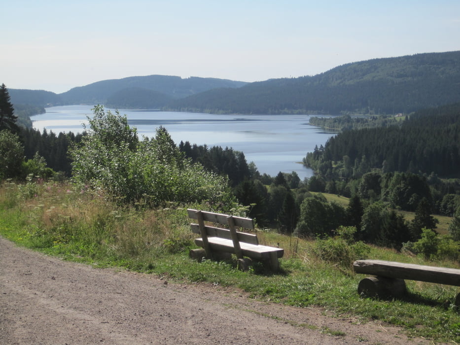


Tour gallery

Tour map and elevation profile

  • Open Street Map
  • Google
Minimum height 760 m Maximum height 1272 m Detailed view

More about the tour author

ABC65
Member since 2016

Send private message

Comments

Schluchsee, Menzenschwander str.

gute Parkmöglichkeit

GPS tracks

Trackpoints
  • GPX / Garmin Map Source (gpx) download
  • TCX / Garmin Training Center® (tcx) download
  • CRS / Garmin Training Center® (crs) download
  • Google Earth (kml) download
  • G7ToWin (g7t) download
  • TTQV (trk) download
  • Overlay (ovl) download
  • Fugawi (txt) download
  • Kompass (DAV) Track (tk) download
  • Track data sheet (pdf) download
  • Original file of the author (gpx) download

More about the tour author

ABC65
Member since 2016

Send private message
Share track
Add to my favorites
Remove from my favorites
Edit tags
My score
Rate
Track: Schluchsee-Sankt Blasien Runde
Type: Mountain bike
Distance: 43,3 km
Evaluated on:
Duration:
Day(s)
Hour(s)
Minute(s)
Score: Landscape Fun factor Fitness Technique