


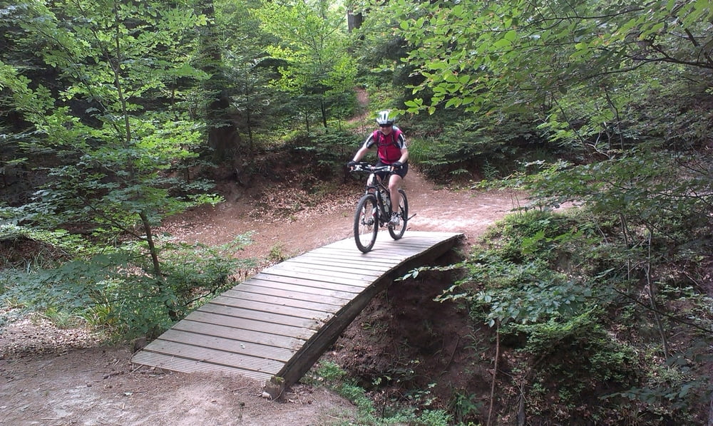
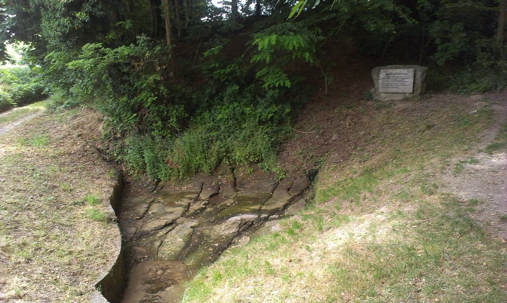
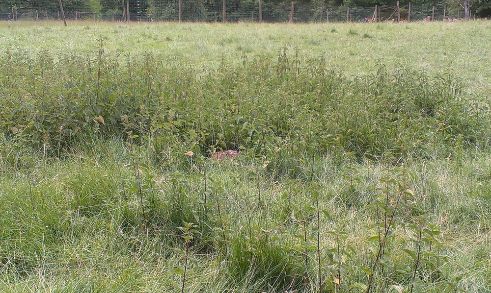
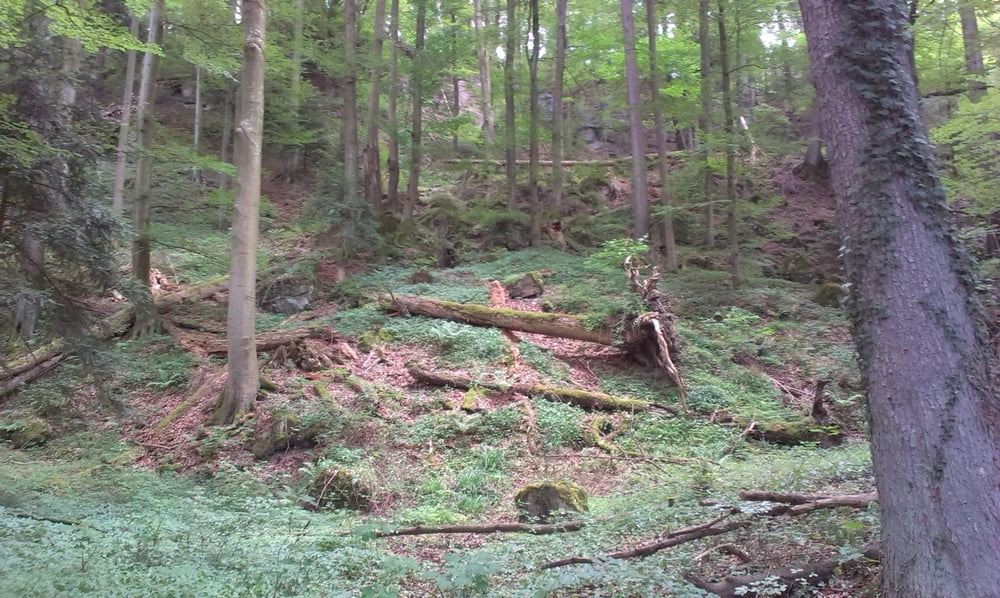
Direkt außerhalb von Murrhardt beginnt der erste große Anstieg auf die umliegenden Höhen. Dort fährt man auf einem schönen sandigen Trail oberhald des Felsenmeeres durch den Wald. Über Waldwege, Schotter und kurze Asphaltstücke führt der Weg über Vorderwestermurr und den Limesradweg in Richtung Marxenhof. Kurz vorher biegen wir links ab und der Weg führt wieder auf Waldwegen zurück auf die Höhe. Bei Klingen kann man im Wildgehege stattliche Rehe bewundern. Ein schön zu fahrender Waldweg führt uns dann unterhalb des Felsenmeeres wieder zurück zum Ausgangspunkt.
Further information at
https://www.murrhardt.de/de/Tourismus-und-Freizeit/Naturpark-Wald-und-Natur/Natursch%C3%B6nheiten/FelsenmeerTour gallery
Tour map and elevation profile
Minimum height 193 m
Maximum height 506 m
More about the tour author

|
DoFt |
Comments

Anfahrt bis Murrhardt. Über Hauptstraße, Karlstraße und Nägelestraße kann die Stadthalle angefahren werden. Dor kann kostenfrei problemlos geparkt werden.
GPS tracks
Trackpoints-
GPX / Garmin Map Source (gpx) download
-
TCX / Garmin Training Center® (tcx) download
-
CRS / Garmin Training Center® (crs) download
-
Google Earth (kml) download
-
G7ToWin (g7t) download
-
TTQV (trk) download
-
Overlay (ovl) download
-
Fugawi (txt) download
-
Kompass (DAV) Track (tk) download
-
Track data sheet (pdf) download
-
Original file of the author (gpx) download
More about the tour author
|
|
DoFt |
Add to my favorites
Remove from my favorites
Edit tags
Open track
My score
Rate