


Achtung: Eins vorweg – wer nicht den gleichen Weg zurückfahren will und die Tour wie hier angegeben fahren will muss sein Bike ab den Wildsee für ca. 45 Minuten schieben. Es soll aber auch Profis geben die so was noch fahren können - zumindest teilweise.
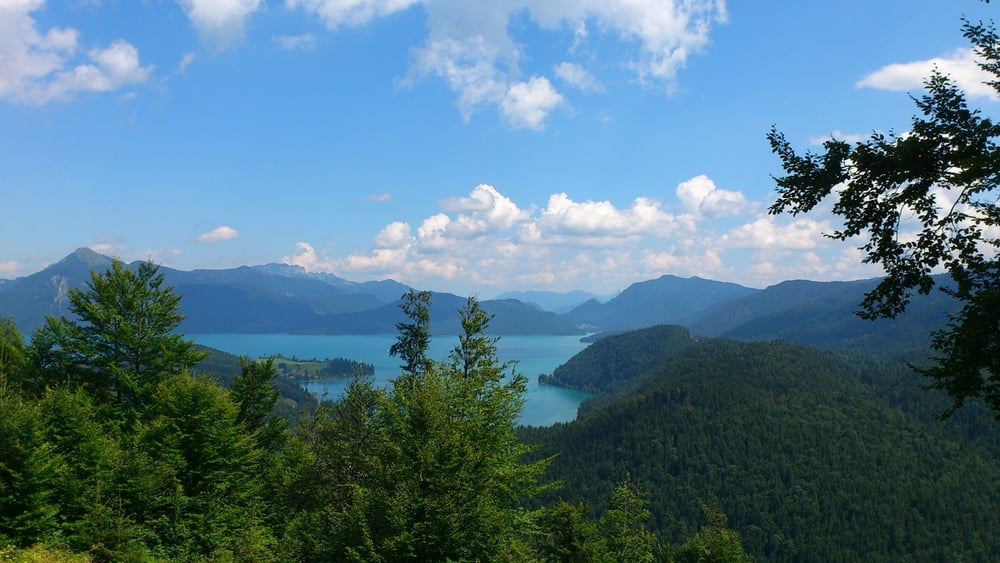
Ausgangs und Endpunkt der Rundtour ist Eschenlohe. Über breite Forststraßen geht es bis auf einer kleinen Unterbrechung für ca. 2,5 beständig bergauf bis zur Kuhalm. Bei einer Rast auf der Alm hat man herrliche Blicke auf den Krottenkopf. Zurück geht es zunächst den gleichen Weg bis zur Abzweigung zum Wildsee. Ab dem Wildsee heißt es wenigsten für mich schieben (ca. 45 Minuten) da dieser Teil der Strecke ein Wanderpfad ist (schmal, mit Felsbrocken, teilweise matschig). Nach diesem Wanderpfad kommt man wieder auf Forststraßen. Die Mühe des Schiebens wird allerdings belohnt wenn es dann über das sehr schöne Eschlainetal zurück nach Eschenlohe geht. Highlights im Eschlainetal ist eine Bachüberquerung und die Gachentodklamm.
Variante mit Wanderung zum Krottenkopf:
https://www.gps-tour.info/de/touren/detail.166270.html
Variante mit Wanderung zur Hohen Kiste:
https://www.gps-tour.info/de/touren/detail.166269.html
Tour gallery


Tour map and elevation profile
Minimum height 637 m
Maximum height 1654 m
More about the tour author
|
|
JoachimDief |
Comments

Ausgangspunk ist ein Parkplatz bei einem Holzsammelplatz am Ortsrand Eschenlohe. Vom Rahthaus aus den Mühlbach überqueren und dann die Krottenkopfstraße nehmen. Später biegt die Krottenkopfstraße nach links ab. Der Parkplatz ist aber geradeaus. Ab da heißt die Straße Schellenbergstraße.
GPS tracks
Trackpoints-
GPX / Garmin Map Source (gpx) download
-
TCX / Garmin Training Center® (tcx) download
-
CRS / Garmin Training Center® (crs) download
-
Google Earth (kml) download
-
G7ToWin (g7t) download
-
TTQV (trk) download
-
Overlay (ovl) download
-
Fugawi (txt) download
-
Kompass (DAV) Track (tk) download
-
Track data sheet (pdf) download
-
Original file of the author (gpx) download
More about the tour author
|
|
JoachimDief |
Add to my favorites
Remove from my favorites
Edit tags
Open track
My score
Rate