Login

Forgotten password?

Cookies have to be accepted!
Your browser's cookie functionality is disabled. Please enable this functionality.

Not a member yet?

Register now
Login

Available for registred users only

Log in to use this feature.

Forgotten password?

Cookies have to be accepted!
Your browser's cookie functionality is disabled. Please enable this functionality.

Not a member yet?

Register now
Filter
Categories
Advanced filters
  • Distance (km)
  • Height
Save filters Reset filter

TrackRank

QRCode

Technical data

Distance26,9 km Height744 m Way down804 m Duration03:00 h:m Date24.09.2016
Scores Author Landscape Fun factor Fitness Technique

Statistics

859 Views Scores 288 Downloads Average
Rate
  • Track data sheet
  • Directions
  • Downloads
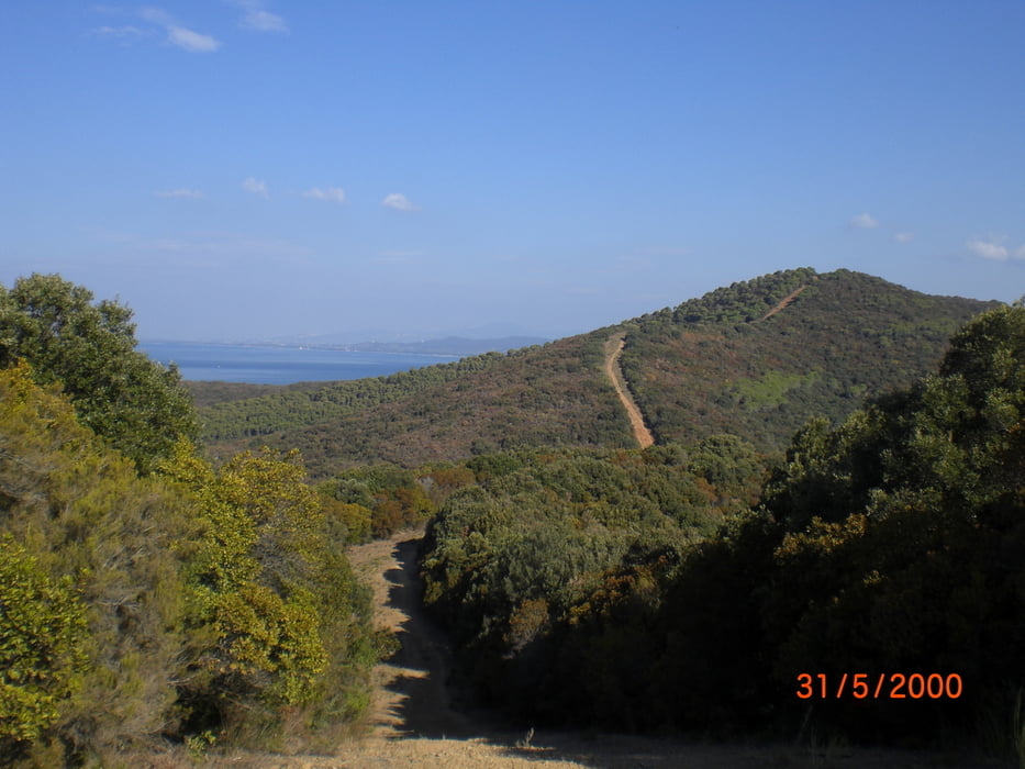
vom Camping Baia Verde Richtung Cala Violina. Von hier die Hügel rauf und runter. Trailanteil ca. 90%; alles gut zu fahren erdig, schmal, machmal ein paar Wurzeln oder Steine (S1).

Further information at

http://www.baiaverde.com/grosseto-maremma/campingplatz-toskana-italien/

Tour gallery

Tour map and elevation profile

  • Open Street Map
  • Google
Minimum height 9 m Maximum height 216 m Detailed view

More about the tour author

Fruehaufsteher
Member since 2008

Send private message

Comments

GPS tracks

Trackpoints
  • GPX / Garmin Map Source (gpx) download
  • TCX / Garmin Training Center® (tcx) download
  • CRS / Garmin Training Center® (crs) download
  • Google Earth (kml) download
  • G7ToWin (g7t) download
  • TTQV (trk) download
  • Overlay (ovl) download
  • Fugawi (txt) download
  • Kompass (DAV) Track (tk) download
  • Track data sheet (pdf) download
  • Original file of the author (gpx) download

More about the tour author

Fruehaufsteher
Member since 2008

Send private message
Share track
Add to my favorites
Remove from my favorites
Edit tags
My score
Rate
Track: Punta Ala - Bandite Traila
Type: Mountain bike
Distance: 26,9 km
Evaluated on:
Duration:
Day(s)
Hour(s)
Minute(s)
Score: Landscape Fun factor Fitness Technique