Login

Forgotten password?

Cookies have to be accepted!
Your browser's cookie functionality is disabled. Please enable this functionality.

Not a member yet?

Register now
Login

Available for registred users only

Log in to use this feature.

Forgotten password?

Cookies have to be accepted!
Your browser's cookie functionality is disabled. Please enable this functionality.

Not a member yet?

Register now
Filter
Categories
Advanced filters
  • Distance (km)
  • Height
Save filters Reset filter

TrackRank

QRCode

Technical data

Distance11,7 km Height330 m Way down347 m Duration00:00 h:m Date01.10.2016
Scores Author Landscape Fun factor Fitness Technique

Statistics

1002 Views Scores 19 Downloads Average
Rate
  • Track data sheet
  • Directions
  • Downloads

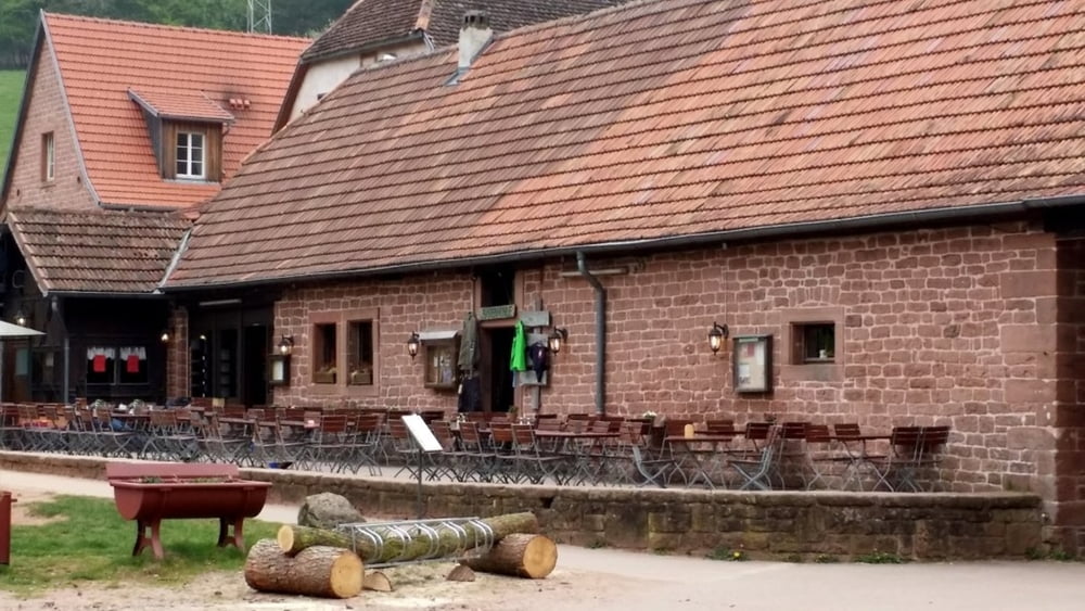
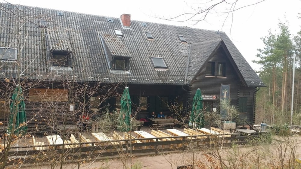
Bei dieser Tour ist Start und Ziel ist der Bärenbrunnerhof. Dabei geht es um den Sorgenbergfelsen drum herum, vorbei am Wanderheim Dicke Eichen und an der Winterkirche vorbei nach Erfweiler und wieder zurück zum Bärenbrunnerhof.


Tour gallery

Tour map and elevation profile

  • Open Street Map
  • Google
Minimum height 207 m Maximum height 445 m Detailed view

More about the tour author

isg13
Member since 2010

Send private message

Comments

GPS tracks

Trackpoints
  • GPX / Garmin Map Source (gpx) download
  • TCX / Garmin Training Center® (tcx) download
  • CRS / Garmin Training Center® (crs) download
  • Google Earth (kml) download
  • G7ToWin (g7t) download
  • TTQV (trk) download
  • Overlay (ovl) download
  • Fugawi (txt) download
  • Kompass (DAV) Track (tk) download
  • Track data sheet (pdf) download
  • Original file of the author (gpx) download

More about the tour author

isg13
Member since 2010

Send private message
Share track
Add to my favorites
Remove from my favorites
Edit tags
My score
Rate
Track: Pfälzer Rundwanderung mit Einkehr - Bärenbrunnerhof
Type: Hiking
Distance: 11,7 km
Evaluated on:
Duration:
Day(s)
Hour(s)
Minute(s)
Score: Landscape Fun factor Fitness Technique