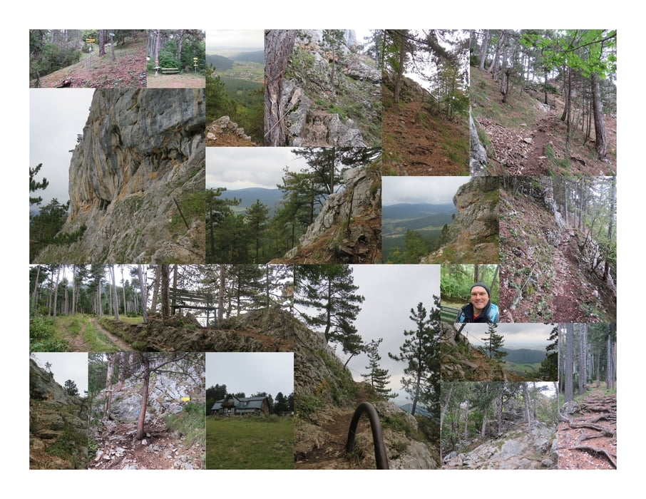
Ich steige vom Hochfallweg auf und erreiche bald den Beginn des Springlessteiges.
Der Pfad erklimmt langsam aber stetig den Berg. Es wird immer steiler.
Ich erreiche den Wandufsssteig und quere ihn. Immer wieder zeigen Wegweiser deutlich den richtigen Pfad an und es besteht keine Gefahr falsch abzubiegen.
Ich erreiche die Hochfallwand und passiere einige mit einem Stahlseil gesicherte Abschnitte. Hier gibt es auch eine Leiter (nicht steil, nicht hoch, nicht lang).
Jetzt noch ein kleines Stück über die Felsen und schon stehe ich direkt vor dem Hubertushaus.
Ein wunderschöner (Kletter-) Steig der ohne Schwierigkeiten zum Wandern geeignet ist :)
Further information at
http://naturpark-hohewand.at/Tour map and elevation profile
Comments

Zustieg über den Hochfallweg, Oberhöflein:
Koordinaten N47° 48' 18.3" E16° 01' 48.5"
Zustieg beim Hubertushaus:
Koordinaten N47° 48' 41.8" E16° 01' 32.0"
Anmerkung: Sehr gute Übersicht zu den Steigen der Hohen Wand siehe http://www.volko.at/berge/hw/hw.shtml.
GPS tracks
Trackpoints-
GPX / Garmin Map Source (gpx) download
-
TCX / Garmin Training Center® (tcx) download
-
CRS / Garmin Training Center® (crs) download
-
Google Earth (kml) download
-
G7ToWin (g7t) download
-
TTQV (trk) download
-
Overlay (ovl) download
-
Fugawi (txt) download
-
Kompass (DAV) Track (tk) download
-
Track data sheet (pdf) download
-
Original file of the author (gpx) download

