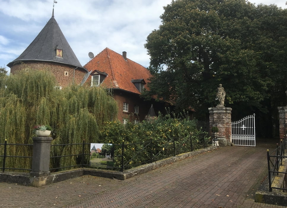
Die letzte Etappe meiner Rheintour führt von Wesel Hbf über Rees nach Emmerich Bf.
Meine gesamte Tour begann in Kleve und führte linksrheinisch stromauf über Millingen (NL), Xanten, Rheinhausen, Neuss, Köln, Bonn, Remagen, Koblenz, Bingen, Mainz nach Worms. Dort wechselte ich die Uferseite und stromabwärts ging es über Goddelau, Biblis, Wiesbaden, Rüdesheim, Loreley, Königswinter, Köln-Mülheim, Leverkusen, Düsseldorf, Duisburg, Wesel, Rees nach Emmerich.
Tour map and elevation profile
Minimum height 13 m
Maximum height 28 m
Comments

GPS tracks
Trackpoints-
GPX / Garmin Map Source (gpx) download
-
TCX / Garmin Training Center® (tcx) download
-
CRS / Garmin Training Center® (crs) download
-
Google Earth (kml) download
-
G7ToWin (g7t) download
-
TTQV (trk) download
-
Overlay (ovl) download
-
Fugawi (txt) download
-
Kompass (DAV) Track (tk) download
-
Track data sheet (pdf) download
-
Original file of the author (gpx) download
Add to my favorites
Remove from my favorites
Edit tags
Open track
My score
Rate

