


- Rundkurs gegen den Uhrzeigersinn
- Start/Ziel: Marling
- Von Marling( MH. 365) auf der Panoramastrasse nach Algund. Weiter auf dem Vinschgauradweg nach Naturns(KM. 14,5-MH. 535). Beginn des Anstiegs auf dem "Naturnser Sonnenberg". Auf Asphalt (mittelsteil/mittelsteil+) vorbei an den Gasthöfen "Unterstell" u. "Lint" bis zum Ende des befahrbaren Weges (KM.24,7-MH.1.599). Beginn des Steiges zum Gasthof "Dickhof" (KM.25,01-MH.1.708). Schieben ist angesagt. Sehr kurze Tragepassagen.
- Vom "Dickhof" Abfahrt auf Asphalt ins Schnalstal. In der Talsohle angekommen auf der Provinzstrasse talauswärts nach Naturns. Von dort auf dem Radweg zurück zum Ausgangspunkt nach Marling.
- PS. Auf der Schnalstalstrasse passieren wir Galerien. Radbeleuchtung nicht vergessen.
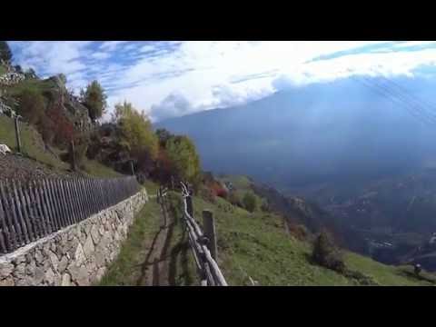
Tour gallery


Tour map and elevation profile
Minimum height 332 m
Maximum height 1720 m
More about the tour author
|
|
MargesinFriedrich |
Comments

GPS tracks
Trackpoints-
GPX / Garmin Map Source (gpx) download
-
TCX / Garmin Training Center® (tcx) download
-
CRS / Garmin Training Center® (crs) download
-
Google Earth (kml) download
-
G7ToWin (g7t) download
-
TTQV (trk) download
-
Overlay (ovl) download
-
Fugawi (txt) download
-
Kompass (DAV) Track (tk) download
-
Track data sheet (pdf) download
-
Original file of the author (gpx) download
More about the tour author
|
|
MargesinFriedrich |
Add to my favorites
Remove from my favorites
Edit tags
Open track
My score
Rate