

- Rundkurs im Uhrzeigersinn
- Start/Ziel: Marling-Dorfplatz
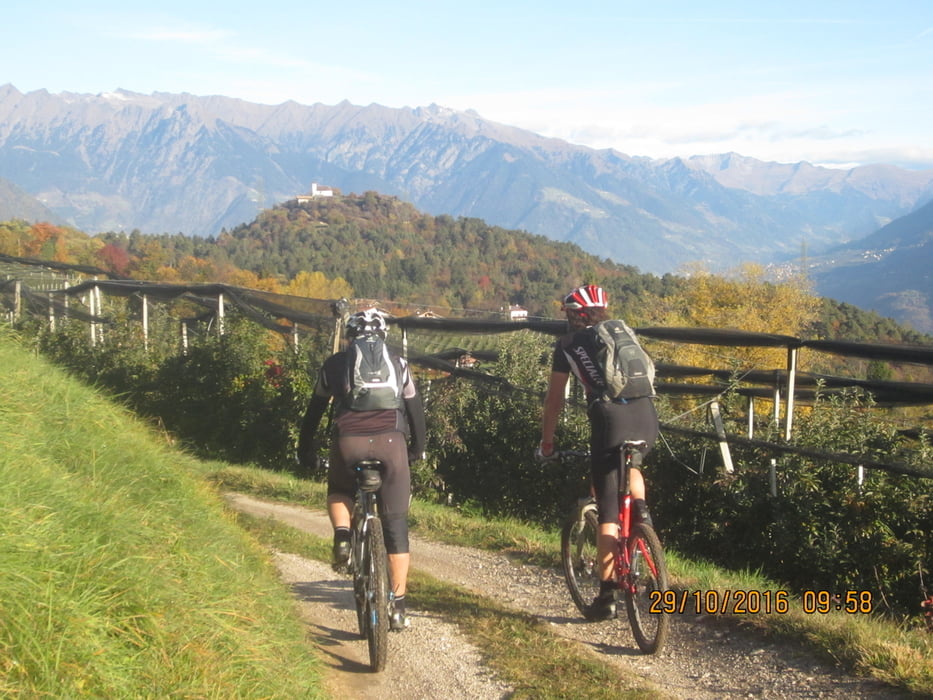
- Einfahren auf asphaltierten Feldwegen und Nebenstrassen nach Nals (KM 15,5-MH 315). Von Nals auf wenig befahrener Landstrasse(mittelsteil/mittelsteil+) hinauf nach Prissian(KM 18-MH 617). Weiter auf kurzem, teilweise ziemlich steilem Weg zum "Oberen Wiesenweg" oberhalb von Prissian. Anschliessend auf dem Panoramaweg an der Obergrenze der Obstwiesen entlang nach Tisens. Nach dem Überqueren der Gampenstrasse auf Asphalt-, bzw. Schotterweg zum Gasthof "Völlanerbad" (KM 24,2 - MH 870). Auf Schotterwegen/Asphalt, bzw. dem Kastanienlehrpfad nach Völlan. Von Völlan auf Asphalt hinunter in die Talsohle nach Lana, und weiter auf Nebenstrassen zurück zum Ausgangspunkt nach Marling.
Tour gallery


Tour map and elevation profile
Minimum height 207 m
Maximum height 870 m
More about the tour author
|
|
MargesinFriedrich |
Comments
GPS tracks
Trackpoints-
GPX / Garmin Map Source (gpx) download
-
TCX / Garmin Training Center® (tcx) download
-
CRS / Garmin Training Center® (crs) download
-
Google Earth (kml) download
-
G7ToWin (g7t) download
-
TTQV (trk) download
-
Overlay (ovl) download
-
Fugawi (txt) download
-
Kompass (DAV) Track (tk) download
-
Track data sheet (pdf) download
-
Original file of the author (gpx) download
More about the tour author
|
|
MargesinFriedrich |
Add to my favorites
Remove from my favorites
Edit tags
Open track
My score
Rate
Tour