Login

Forgotten password?

Cookies have to be accepted!
Your browser's cookie functionality is disabled. Please enable this functionality.

Not a member yet?

Register now
Login

Available for registred users only

Log in to use this feature.

Forgotten password?

Cookies have to be accepted!
Your browser's cookie functionality is disabled. Please enable this functionality.

Not a member yet?

Register now
Filter
Categories
Advanced filters
  • Distance (km)
  • Height
Save filters Reset filter

TrackRank

QRCode

Technical data

Distance16,8 km Height821 m Way down821 m Duration00:00 h:m Date14.11.2016
Scores Author Landscape Fun factor Fitness Technique

Statistics

235 Views Scores 50 Downloads Average
Rate
  • Track data sheet
  • Directions
  • Downloads
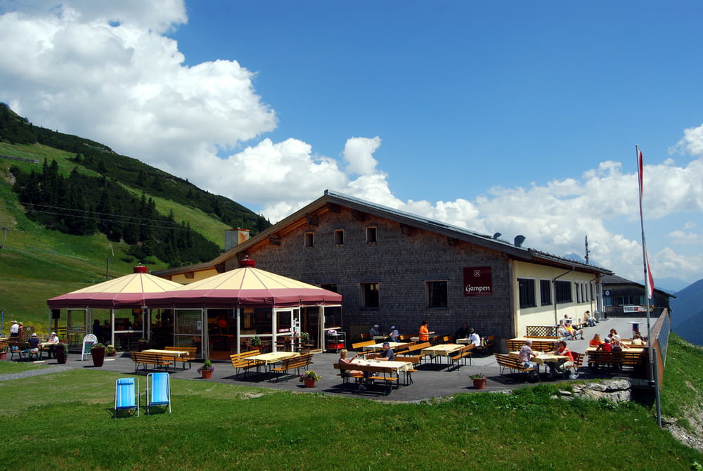
Mittelschwere Sprinttour auf den Kapall. Südseitig gelegen bis in den Herbst hinein gut machbar. Tolle Aussicht auf die Lechtaler Alpen, das Stanzertal und die gegenüber liegende Verwallgruppe. Kaum Schwierigkeiten, nur der Schlussanstieg hat es mit 20% in sich.

Tour gallery

Tour map and elevation profile

  • Open Street Map
  • Google
Minimum height 1283 m Maximum height 2083 m Detailed view

More about the tour author

sommerkarte
Member since 2016

Send private message

Comments

GPS tracks

Trackpoints
  • GPX / Garmin Map Source (gpx) download
  • TCX / Garmin Training Center® (tcx) download
  • CRS / Garmin Training Center® (crs) download
  • Google Earth (kml) download
  • G7ToWin (g7t) download
  • TTQV (trk) download
  • Overlay (ovl) download
  • Fugawi (txt) download
  • Kompass (DAV) Track (tk) download
  • Track data sheet (pdf) download
  • Original file of the author (gpx) download

More about the tour author

sommerkarte
Member since 2016

Send private message
Share track
Add to my favorites
Remove from my favorites
Edit tags
My score
Rate
Track: St. Anton - Herrenwald - Kapall
Type: Mountain bike
Distance: 16,8 km
Evaluated on:
Duration:
Day(s)
Hour(s)
Minute(s)
Score: Landscape Fun factor Fitness Technique