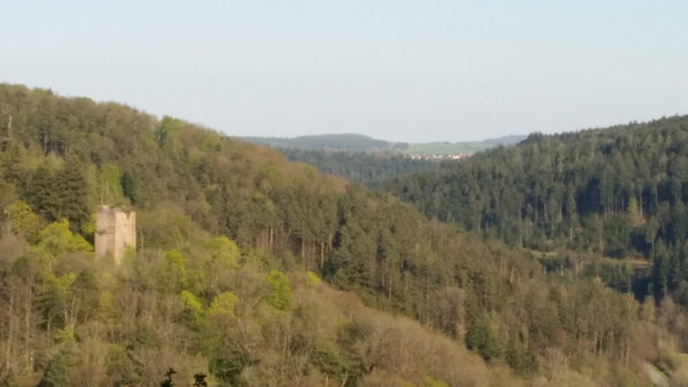
Wir starten in Pforzheims höchstgelegenem Stadtteil Hohenwart in der Schönbornstraße, tauchen gleich in den Waldein und kommen zum Würmer Tor hinunter. Der Dreimarksteinweg bringt uns zur Landstraße hoch, drüber geht es darüber hinweg und zielstrebig hinunter ins Nagoldtal. Der Leiwiesenweg ist dabei unser Begleiter. Im Nagoldtal geht es durch den Klebwald und an der Nagold entlang flussaufwärts. Immer weiter ist die Nagold unser Begleiter, bis wir Monbach erreichen und dann wieder Kurs auf die Biethöhe nehmen. Vorbei an der Schaierhütte kommen wir nach Schellbronn, von wo uns der Dennjächterweg hinüber nach Hohenwart und zum Aussichtsturm Hohe Warte. bringt. Ein Blick weit ins Land sei hier erlaubt, dann geht es hinaus zum Waldrand, durch die Mädachäcker und wieder zum Waldrand und an dem zunächst entlang. Am Hamberger Tor geht es wieder in den Wald hinein, den Berg runter und dann in weitem Bogen um das Köpfle rum. Dann folgt ein Trip auf dem schmalen Grenzweg zur Wolfsgrube mit Blick auf die Ruine Liebeneck, dann ist es nicht mehr weit bis zum Ausgangspunkt der Tour zurück.
Tour gallery
Tour map and elevation profile
Minimum height 298 m
Maximum height 572 m
Comments

GPS tracks
Trackpoints-
GPX / Garmin Map Source (gpx) download
-
TCX / Garmin Training Center® (tcx) download
-
CRS / Garmin Training Center® (crs) download
-
Google Earth (kml) download
-
G7ToWin (g7t) download
-
TTQV (trk) download
-
Overlay (ovl) download
-
Fugawi (txt) download
-
Kompass (DAV) Track (tk) download
-
Track data sheet (pdf) download
-
Original file of the author (gpx) download
Add to my favorites
Remove from my favorites
Edit tags
Open track
My score
Rate


