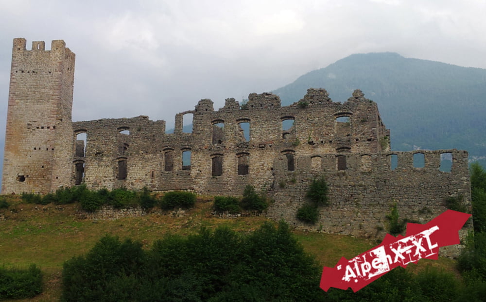
Castell Belfort - Andalo - Lago di Molveno - Baeli - Strada per deggia - Ranzo - Ranzo Trail - Lago di Toblino - Arco - Torbole
Absolute Standard Alpencross Schlussetappe über den Molvenosee zum Ranzo Trail und dann ab an den See.
Leider hat es ein bisschen geregnet, lustig wars aber trotzdem.
Einen ausführlichen Tourbericht, viele Fotos und einen genaueren GPS-Download gibt es auf meiner Internetseite www.AlpenX-XL.de :-)
Der link zur Tour steht unten. Viel Spass :-)
Further information at
http://www.alpenx-xl.de/touren-alpencross/16/ranzo-trail.phpTour gallery
Tour map and elevation profile
Minimum height 63 m
Maximum height 1038 m
Comments

GPS tracks
Trackpoints-
GPX / Garmin Map Source (gpx) download
-
TCX / Garmin Training Center® (tcx) download
-
CRS / Garmin Training Center® (crs) download
-
Google Earth (kml) download
-
G7ToWin (g7t) download
-
TTQV (trk) download
-
Overlay (ovl) download
-
Fugawi (txt) download
-
Kompass (DAV) Track (tk) download
-
Track data sheet (pdf) download
-
Original file of the author (gpx) download
Add to my favorites
Remove from my favorites
Edit tags
Open track
My score
Rate


