Login

Forgotten password?

Cookies have to be accepted!
Your browser's cookie functionality is disabled. Please enable this functionality.

Not a member yet?

Register now
Login

Available for registred users only

Log in to use this feature.

Forgotten password?

Cookies have to be accepted!
Your browser's cookie functionality is disabled. Please enable this functionality.

Not a member yet?

Register now
Filter
Categories
Advanced filters
  • Distance (km)
  • Height
Save filters Reset filter

TrackRank

QRCode

Technical data

Distance60,0 km Height1672 m Way down1679 m Duration04:47 h:m Date17.04.2017
Scores Author Landscape Fun factor Fitness Technique

Statistics

356 Views Scores 23 Downloads Average
Rate
  • Track data sheet
  • Directions
  • Downloads

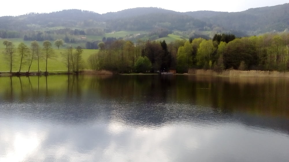
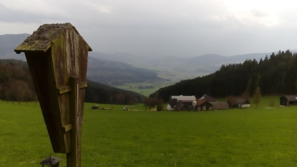
Schöne Runde von Maria Taferl aus. Lange der Riederbergstrecke und dem Granittrail entlang. Technisch nicht anspruchsvoll, allerdings gibt es ein 20 minütiges Schiebestück durch den Wald (ziemlich verwachsener, alter Weg) zwischen Altenmarkt und Neuwaldhäusl.


Tour gallery

Tour map and elevation profile

  • Open Street Map
  • Google
Minimum height 400 m Maximum height 981 m Detailed view

More about the tour author

mitter
Member since 2008

Send private message

Comments

Start in Maria Taferl bei der Basilika.


GPS tracks

Trackpoints
  • GPX / Garmin Map Source (gpx) download
  • TCX / Garmin Training Center® (tcx) download
  • CRS / Garmin Training Center® (crs) download
  • Google Earth (kml) download
  • G7ToWin (g7t) download
  • TTQV (trk) download
  • Overlay (ovl) download
  • Fugawi (txt) download
  • Kompass (DAV) Track (tk) download
  • Track data sheet (pdf) download
  • Original file of the author (gpx) download

More about the tour author

mitter
Member since 2008

Send private message
Share track
Add to my favorites
Remove from my favorites
Edit tags
My score
Rate
Track: Maria Taferl Runde 170415
Type: Mountain bike
Distance: 60,0 km
Evaluated on:
Duration:
Day(s)
Hour(s)
Minute(s)
Score: Landscape Fun factor Fitness Technique