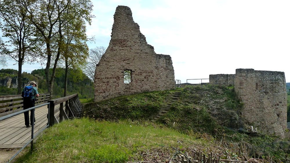
Landschaftlich nicht so reizvoll wie die letzte Etappe präsentiert sich der Eifelsteig auf der Etappe von Gerolstein nach Daun. In der Brunnenstadt geht es zunächst vorbei an der Ruine der mittelalterlichen Löwenburg. Die Burg wurde 1691 im pfälzischen Erbfolgekrieg zerstört und nicht wieder aufgebaut. Die „Erklimmung“ der Dietzenley mit knapp 618 m Höhe im Gerolsteiner Land, belohnt mit weiten Panorama -blicken ins Kylltal und in die Vulkaneifel. Der Weg führt uns weiter durch sehr viel Misch- und Laubwald mit uralten Baumbeständen, teils durch offenes Gelände über Hochebenen, Vulkankegel und Täler. Wer Lust hat kann im Eifelörtchen Neroth Deutschlands einziges Mausefallenmuseum besuchen. Über den Nerother Kopf geht es schließlich mitten durch die Vulkaneifel vorbei an der Neunkirchener Mühle bis in die Kreisstadt Daun.
Tour gallery
Tour map and elevation profile
Minimum height 373 m
Maximum height 652 m
Comments

GPS tracks
Trackpoints-
GPX / Garmin Map Source (gpx) download
-
TCX / Garmin Training Center® (tcx) download
-
CRS / Garmin Training Center® (crs) download
-
Google Earth (kml) download
-
G7ToWin (g7t) download
-
TTQV (trk) download
-
Overlay (ovl) download
-
Fugawi (txt) download
-
Kompass (DAV) Track (tk) download
-
Track data sheet (pdf) download
-
Original file of the author (gpx) download
Add to my favorites
Remove from my favorites
Edit tags
Open track
My score
Rate


