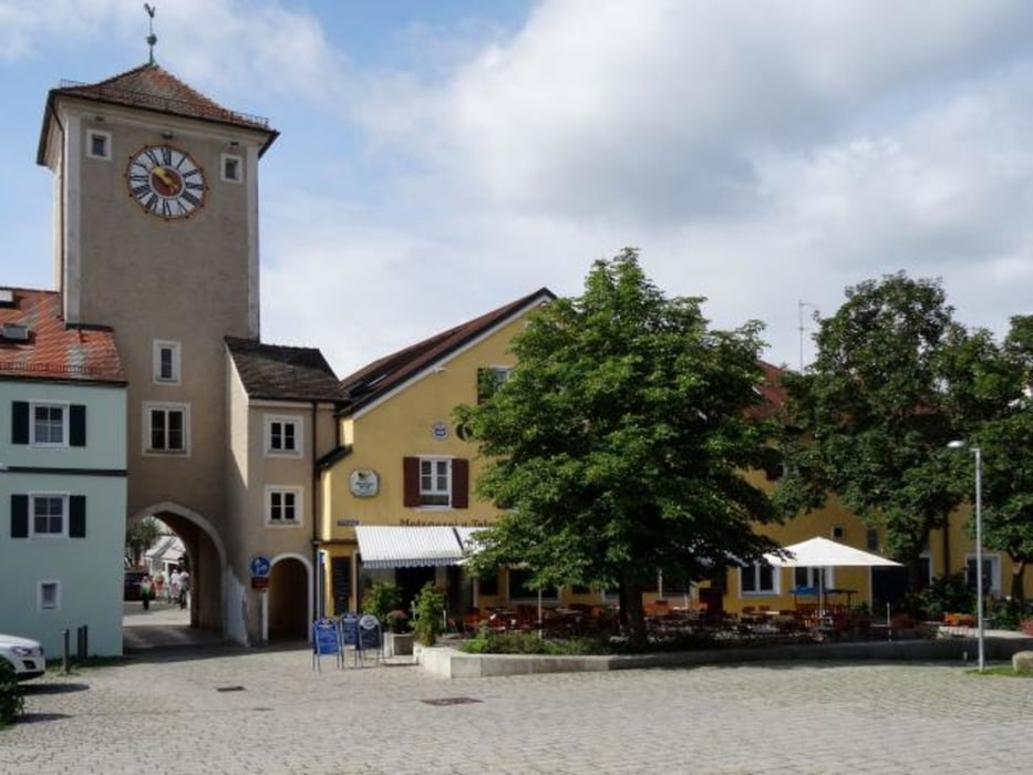
Erste Etappe unsere Altmühl-Kocher-Tal Tour 2016, am 9.8.2016 von Bad Abbach nach Beilngries. Bad Abbach-Kehlheim-Essing (Burg Prunn)-Riedenburg-Beilngries.
Schöne, genussvolle Strecke ohne nenenswerte Steigungen. Einkehrmöglichkeiten in Kehlheim und Riedenburg.
Übernachtung in Bad Abbach, Gasthof zur Post, in Beilngries Schattenhofer Brauerei/Hotel , beide Häuser empfehlenswert (gute Küche).
Altstadt-Rundgang in Beilngries absolut empfehlenwert.
Tour gallery
Tour map and elevation profile
Minimum height 338 m
Maximum height 399 m
Comments

GPS tracks
Trackpoints-
GPX / Garmin Map Source (gpx) download
-
TCX / Garmin Training Center® (tcx) download
-
CRS / Garmin Training Center® (crs) download
-
Google Earth (kml) download
-
G7ToWin (g7t) download
-
TTQV (trk) download
-
Overlay (ovl) download
-
Fugawi (txt) download
-
Kompass (DAV) Track (tk) download
-
Track data sheet (pdf) download
-
Original file of the author (gpx) download
Add to my favorites
Remove from my favorites
Edit tags
Open track
My score
Rate


