


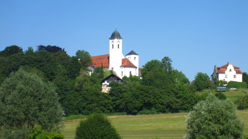
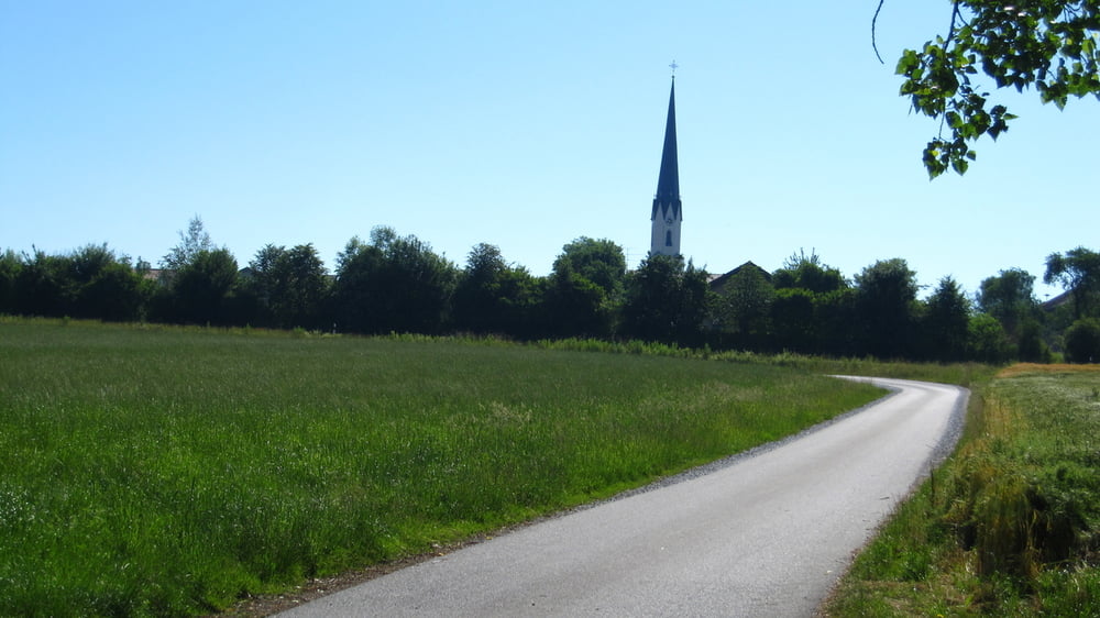
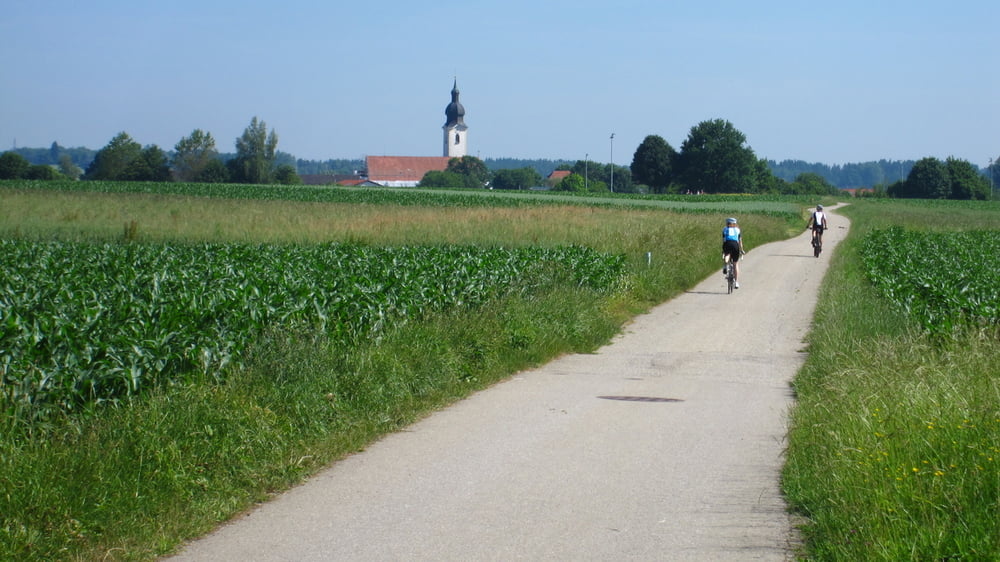
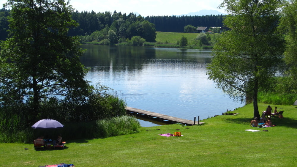
Auf kleinen Straßen durch den Chiemgau. Im Uhrzeigersinn gefahren herrliche Blicke auf das Alpenpanorama! Durchfahrene Ortschaften: Großkarolinenfeld, Marienberg, Schechen, Rott am Inn, Grießstätt, Eiselfing, Pelhamer See, Evenhausen, Hemhof, Rimsting, Prien, Umratshausen, Aschau im Chiemgau, Frasdorf, Achenmühle, Rohrdorf, Thansau, Rosenheim.
Tour gallery
Tour map and elevation profile
Minimum height 437 m
Maximum height 639 m
More about the tour author

|
amt |
Comments

A8, Ausfahrt Rosenheim, Westerndorf St. Peter, Großkarolinenfeld, Parkmöglichkeit am Volksfestplatz in Großkarolinenfeld. Einstieg in die Tour aber an jedem Punkt möglich.
GPS tracks
Trackpoints-
GPX / Garmin Map Source (gpx) download
-
TCX / Garmin Training Center® (tcx) download
-
CRS / Garmin Training Center® (crs) download
-
Google Earth (kml) download
-
G7ToWin (g7t) download
-
TTQV (trk) download
-
Overlay (ovl) download
-
Fugawi (txt) download
-
Kompass (DAV) Track (tk) download
-
Track data sheet (pdf) download
-
Original file of the author (gpx) download
More about the tour author
|
|
amt |
Add to my favorites
Remove from my favorites
Edit tags
Open track
My score
Rate