


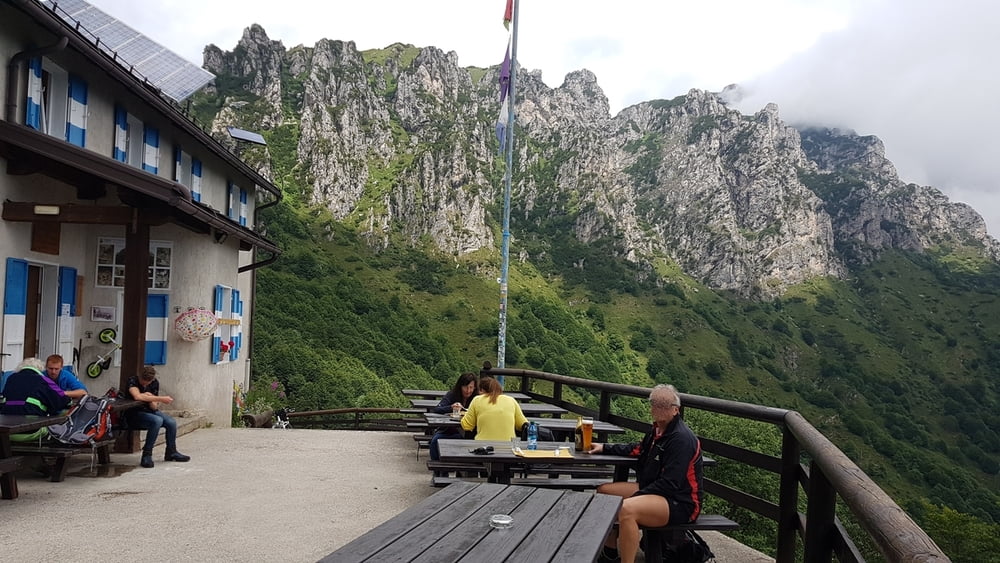
Technisch einfache Tour zum Rifugio Nino Pernici auf 1600 Meter. An der Schutzhütte genießt man eine schöne Aussicht und ist auch eine gute Einkehrmöglichkeit. Auf der Rückfahrt kommt ein anspruchsvoller Trail S2 - S3 ca. 600 Meter lang. Diesen kurzen Abschnitt kann man auch laufen.
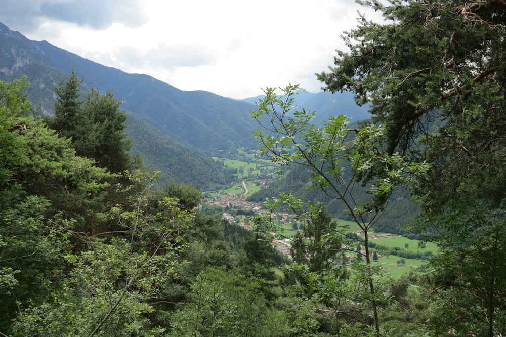
Wir starten in Molina di Ledro beim Hotel San Carlo. Dort ist auch ein gebührenpflichtiger Parkplatz (1€ pro Stunde). An der linken Seeseite radeln wir auf der wenig befahrenen Straße entlang nach Bezzecca, Enguiso. Von dort geht es dann gleichmäsig meist im Schatten auf der schmalen Teerstraße bergauf. Später geht die Passtraße auf Schotter über bis zur Hütte.
Nach dem Einkehren fahren wir ca. 4 Km auf dem gleichen Weg hinunter und biegen links auf einem Schotterweg ab (Schranke). Nach ca. 2 Km kommt der etwas versteckte anspruchsvolle Trail S2 -S3. Danach geht es auf Schotter und griffigen Betonweg teilweise steil hinunter zum Ledrosee. Am Seeweg entlang fahren wir zum Ausgangspunkt.
Further information at
http://www.trentino.com/de/highlights/natur-und-landschaft/seen/ledrosee/Tour gallery


Tour map and elevation profile
Minimum height 655 m
Maximum height 1581 m
More about the tour author
|
|
W-C |
Comments

MIT DEM AUTO –
Brennerautobahn A22, Ausfahrt Rovereto sud (Kasse) und weiter Richtung Riva del Garda. Von Riva del Garda der SS
240 ins Val di Ledro folgen.
Autobahn A4, Ausfahrt Brescia est und weiter entlang des Val Sabbia bis nach Storo. In Storo der SS 240 ins Val di Ledro folgen.
Molina di Ledro - Parkplatz beim Hotel San Carlo (gebührenpflichtig 1€ pro Stunde
Parkplatz Koordinaten:
N45° 52.464'
E10° 45.956'
GPS tracks
Trackpoints-
GPX / Garmin Map Source (gpx) download
-
TCX / Garmin Training Center® (tcx) download
-
CRS / Garmin Training Center® (crs) download
-
Google Earth (kml) download
-
G7ToWin (g7t) download
-
TTQV (trk) download
-
Overlay (ovl) download
-
Fugawi (txt) download
-
Kompass (DAV) Track (tk) download
-
Track data sheet (pdf) download
-
Original file of the author (gpx) download
More about the tour author
|
|
W-C |
Add to my favorites
Remove from my favorites
Edit tags
Open track
My score
Rate