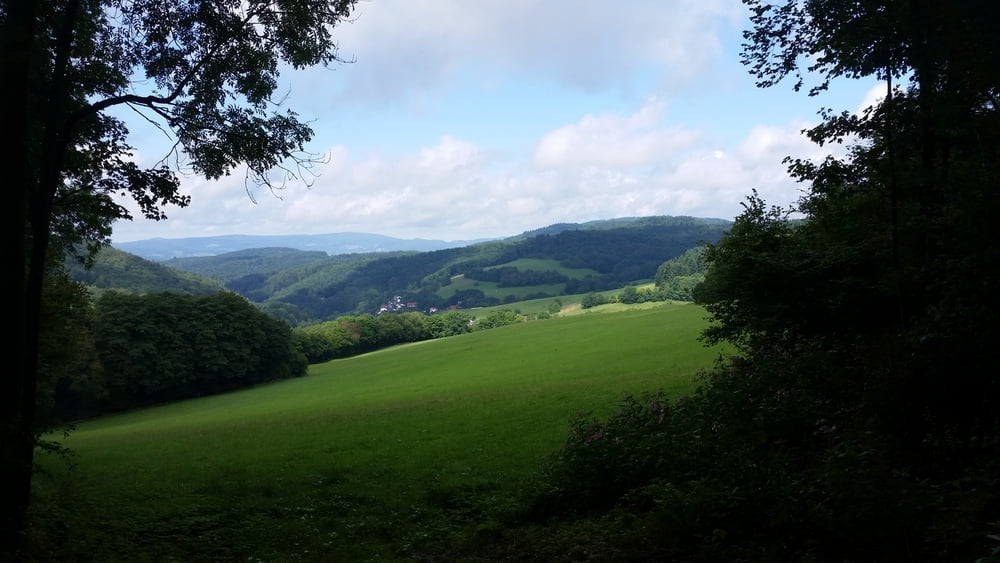
Von Seckenheim über Neckarhausen, Ladenburg, Schriesheim, Abtsteinach, Tromm, Hammelbach nach Fürth.
Im Odenwald: vor allem Forstwege, aber auch Trails => Mountainbike erforderlich
Die Tour basiert auf einer Verbindung der Touren 22821 & 45844 & 78314
https://www.gps-tour.info/de/touren/detail.78314.html Feierrabendtour - von Schriesheim nach Ursenbach und zurück
https://www.gps-tour.info/de/touren/detail.45844.html Rund um die Tromm
https://www.gps-tour.info/de/touren/detail.22821.html Odenwaldrunde: Juhöhe -Tromm - Kreidacher Höhe
Tour gallery
Tour map and elevation profile
Comments

Start: Mannheim-Seckenheim
Zurück von Fürth: mit der Bahn bis Ladenburg, dann per Fahrrad nach Seckenheim
GPS tracks
Trackpoints-
GPX / Garmin Map Source (gpx) download
-
TCX / Garmin Training Center® (tcx) download
-
CRS / Garmin Training Center® (crs) download
-
Google Earth (kml) download
-
G7ToWin (g7t) download
-
TTQV (trk) download
-
Overlay (ovl) download
-
Fugawi (txt) download
-
Kompass (DAV) Track (tk) download
-
Track data sheet (pdf) download
-
Original file of the author (gpx) download


