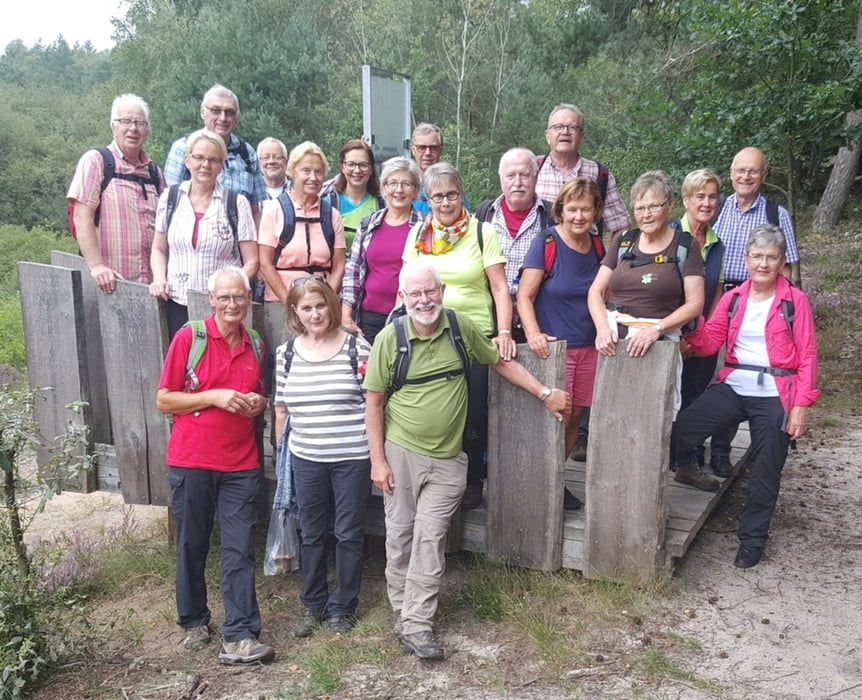
Der Augustdorfer Dünenpfad ist ca. 5 km lang. Wir starteten die Tour in Stukenbrock. Erst in Richtung Segelflugplatz, vorbei am Campingplatz (FKK) und am Bokelfenner Krug. Die Wege, meist schmal und eng, durch Gehege für Wildpferde und Kühe und vorbei an vielen Teichen. Die Tour ist im August besonders schön, wenn die Heideflächen blühen.
Auf dem Dünenpfad einige schöne Ausblicke mit Erläuterungen.
Tour gallery
Tour map and elevation profile
Minimum height 179 m
Maximum height 222 m
Comments

GPS tracks
Trackpoints-
GPX / Garmin Map Source (gpx) download
-
TCX / Garmin Training Center® (tcx) download
-
CRS / Garmin Training Center® (crs) download
-
Google Earth (kml) download
-
G7ToWin (g7t) download
-
TTQV (trk) download
-
Overlay (ovl) download
-
Fugawi (txt) download
-
Kompass (DAV) Track (tk) download
-
Track data sheet (pdf) download
-
Original file of the author (gpx) download
Add to my favorites
Remove from my favorites
Edit tags
Open track
My score
Rate


