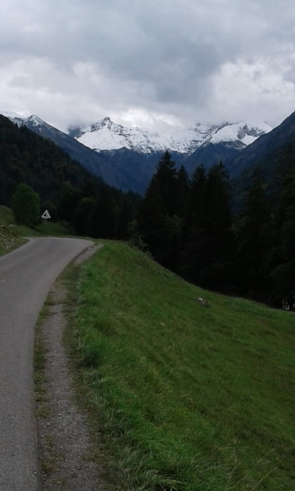
Von Oberstdorf die Oytalstrasse entlang bis zur Käseralpe. Alles wieder zurück und das Trettachtal hinauf zur Dietenbachalpe und wieder zurück. Leider alles Asphalt und Kieswege. Die Wanderwege links oder rechts rauf oder runter sind leider nicht MTB geeignet. Man müßte viel tragen und schieben.
Tour gallery
Tour map and elevation profile
Minimum height 854 m
Maximum height 1402 m
Comments

GPS tracks
Trackpoints-
GPX / Garmin Map Source (gpx) download
-
TCX / Garmin Training Center® (tcx) download
-
CRS / Garmin Training Center® (crs) download
-
Google Earth (kml) download
-
G7ToWin (g7t) download
-
TTQV (trk) download
-
Overlay (ovl) download
-
Fugawi (txt) download
-
Kompass (DAV) Track (tk) download
-
Track data sheet (pdf) download
-
Original file of the author (gpx) download
Add to my favorites
Remove from my favorites
Edit tags
Open track
My score
Rate


