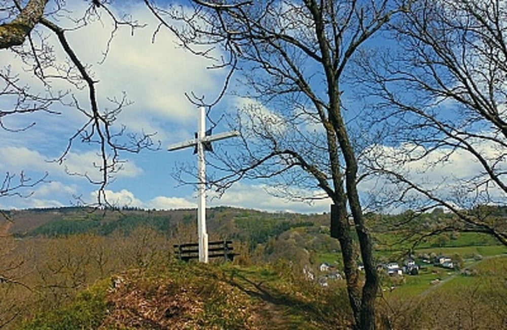
 Wer sich aus östlicher Richtung dem Ort Dedenborn nähert, der erkennt sofort, dass dieser Ort etwas ganz Besonderes ist. Kühn erstreckt er sich auf dem Felsgrat oberhalb der Rur. Bevor wir unser Ziel erreichen, durchfahren wir zunächst das am Nordhang gelegene Seifenauel und unten im Tal, den Weiler Rauchenauel. Eine umfangreiche Wegbeschreibung zu dieser Tour finden Sie auf dem beiliegenden Flyer/PDF.
Flyer zur Tour: Download
weitere Dordfrundgänge: der-eifelyeti

Further information at
http://der-eifelyeti.de/2017/02/20/dedenborn/Tour map and elevation profile
Minimum height 336 m
Maximum height 382 m
Comments

GPS tracks
Trackpoints-
GPX / Garmin Map Source (gpx) download
-
TCX / Garmin Training Center® (tcx) download
-
CRS / Garmin Training Center® (crs) download
-
Google Earth (kml) download
-
G7ToWin (g7t) download
-
TTQV (trk) download
-
Overlay (ovl) download
-
Fugawi (txt) download
-
Kompass (DAV) Track (tk) download
-
Track data sheet (pdf) download
-
Original file of the author (gpx) download
Add to my favorites
Remove from my favorites
Edit tags
Open track
My score
Rate

