 Von der Altstadt zum Nationalpark Eifel
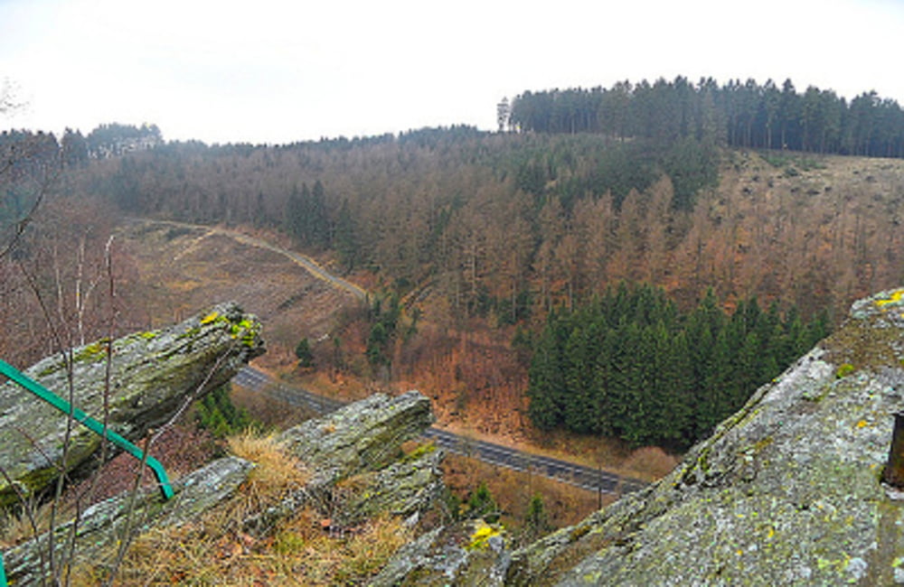
Der Monschauer Nationalparkweg führt von der idyllische Altstadt Monschau zum Nationalpark Eifel und über das Heckendorf Höfen zurück nach Monschau. Entlang der Strecke erwarten die Naturfreundinnen und -freunde faszinierende Fernblicke, romantische Bachtäler und eine reichhaltige Pflanzenwelt. Informationsstelen weisen auf landschaftliche und kulturhistorische Besonderheiten hin. Neben mehreren Einkehrmöglichkeiten im Perlenbachtal und in Höfen laden zwei Ausstellungshäuser zum Verweilen ein: Das Nationalparktor Höfen des Nationalparks Eifel sowie Haus Seebend des Eifel- und Heimatvereins mit dem zukünftigen Webereimuseum. Abkürzungsschleifen sind möglich. Außerdem kann die Rückkehr mit öffentlichen Verkehrsmitteln (Bus Linie 84) von Höfen nach Monschau erfolgen. Eine detaillierteWegbeschreibung(siehe PDF-Datei) sowie interessante POI's finden Sie in dem wander begleiteten Flyer.
Flyer zur Tour: Download
Weitere Touren: Monschau
Further information at
http://der-eifelyeti.de/2017/02/28/wasser-wolle-schiefersteine-monschau/Tour map and elevation profile
Comments

GPS tracks
Trackpoints-
GPX / Garmin Map Source (gpx) download
-
TCX / Garmin Training Center® (tcx) download
-
CRS / Garmin Training Center® (crs) download
-
Google Earth (kml) download
-
G7ToWin (g7t) download
-
TTQV (trk) download
-
Overlay (ovl) download
-
Fugawi (txt) download
-
Kompass (DAV) Track (tk) download
-
Track data sheet (pdf) download
-
Original file of the author (gpx) download

