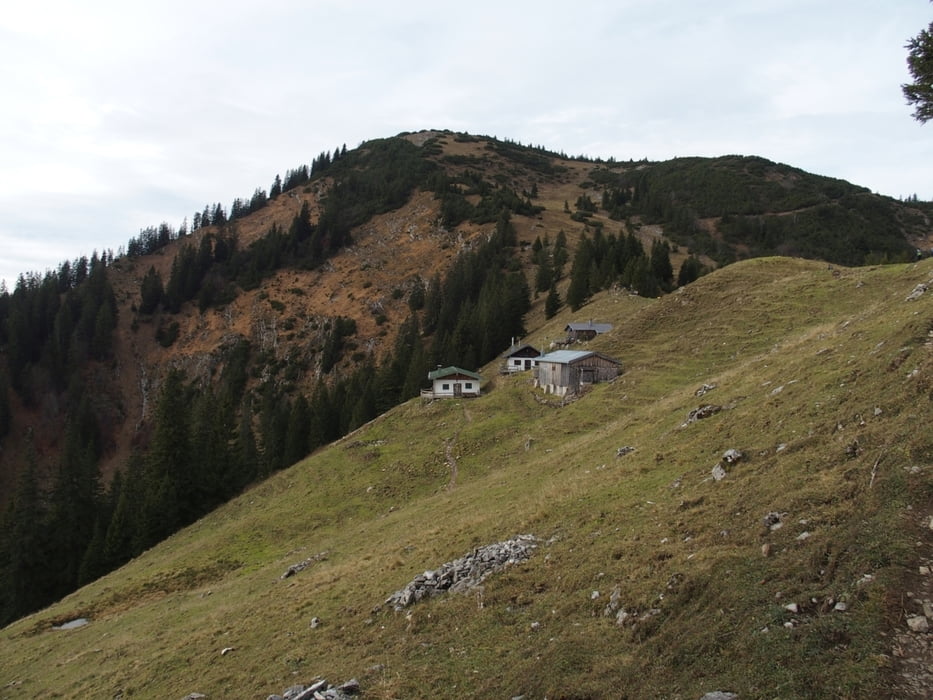
Hirschberg ist immer wieder schön. Auch wenn es schon spät im Jahr ist, ist immer was los dort oben. Schnee war noch keiner außer auf der Nordseite im Abstieg ein paar Stellen. Rauf sind wir über die Skipiste durch den Wald bis zur Rauheckalm. Dann den üblichen Weg bis zum Verbindungsweg Hirschberghaus-Gipfel. Zuerst den zugigen Gipfel besucht und schnell die Käsebrote gegessen. Runter gings dann übers Hirschberghaus und den Winterweg und am Fußpunkt des Lifts recht Richtung Holzpointalm. Dort trifft man dann auf den Fahrweg runter zum Parkplatz.
sicht hatten wir sehr gut. Man hat Großglockner, Zugspitze etc. gesehen, obwohl es bewölkt war (ziemlich hoch).
Further information at
http://www.tegernsee.com/wandern-berge/wandern-am-tegernsee.htmlTour gallery
Tour map and elevation profile
Comments

Parkplatzgebühr war 3,- Eur. Jetzt gibts nen offiziellen Automaten in Scharling.
Über die A8 bis Holzkirchen und die B318 bis Gmund. Dort über Bad Wiessee bis Rottach. Am Ortsausgang rechts nach Scharling. Man kann auch mit dem Bus bis dorthin fahren, weiß aber nicht genau, wie..
GPS tracks
Trackpoints-
GPX / Garmin Map Source (gpx) download
-
TCX / Garmin Training Center® (tcx) download
-
CRS / Garmin Training Center® (crs) download
-
Google Earth (kml) download
-
G7ToWin (g7t) download
-
TTQV (trk) download
-
Overlay (ovl) download
-
Fugawi (txt) download
-
Kompass (DAV) Track (tk) download
-
Track data sheet (pdf) download
-
Original file of the author (gpx) download


