Freiburg Rosskopftrail
15,5 km, 1:30 Std, 490 Hm
Guide: Harry Schmidt
gefahren: 03.05.2008, Oliver Thost
Aufzeichnung: GARMIN Edge 305
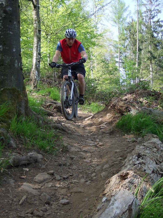
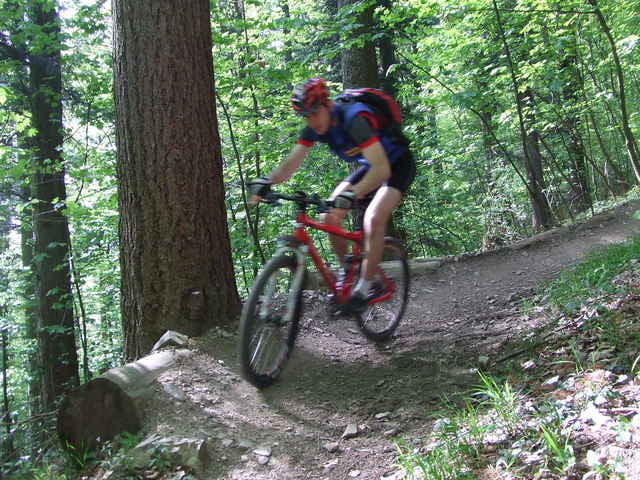
Auffahrt: technisch anspruchsvolle Waldpfade schmal, steil mit Spitzkehren
Rosskopftrail: ausgebauter Freeride-Trail, fahrbar mit Marathon-Fully aber besser mit Downhill-Bike
Weitere Fotos...
Further information at
http://www.thostnet.deTour gallery
Tour map and elevation profile
Minimum height 284 m
Maximum height 741 m
Comments
Freiburg i.Br.
GPS tracks
Trackpoints-
GPX / Garmin Map Source (gpx) download
-
TCX / Garmin Training Center® (tcx) download
-
CRS / Garmin Training Center® (crs) download
-
Google Earth (kml) download
-
G7ToWin (g7t) download
-
TTQV (trk) download
-
Overlay (ovl) download
-
Fugawi (txt) download
-
Kompass (DAV) Track (tk) download
-
Track data sheet (pdf) download
-
Original file of the author (gpx) download
Add to my favorites
Remove from my favorites
Edit tags
Open track
My score
Rate


Ein Muss für Schwarzwald-Besucher
Haben am Ende kurz vor der Jugendherberge einige Scherben entdeckt und gleich mal entsorgt, anstonsten super sauber der Trail.
Danke an die Crew die den Trail pflegt.
Sind an einem Samstag Morgen gefahren und waren erstaunt wie wenig auf dem Trail los war.
Der Schwarzwald ist und bleibt einfach unglaublich.
Nerve77
Sehr empfehlenswert
auch wir möchte unseren dank an das team richten.
ollib cube125
Findet man den Weg auch ohne GPS?
Komme Freitag zum ersten Mal und kenn mich nicht so gut aus.
Finde ich mich zurecht?