Login

Forgotten password?

Cookies have to be accepted!
Your browser's cookie functionality is disabled. Please enable this functionality.

Not a member yet?

Register now
Login

Available for registred users only

Log in to use this feature.

Forgotten password?

Cookies have to be accepted!
Your browser's cookie functionality is disabled. Please enable this functionality.

Not a member yet?

Register now
Filter
Categories
Advanced filters
  • Distance (km)
  • Height
Save filters Reset filter

TrackRank

QRCode

Technical data

Distance49,4 km Height1485 m Way down1485 m Duration00:00 h:m Date22.04.2018
Scores Author Landscape Fun factor Fitness Technique

Statistics

423 Views Scores 33 Downloads Average
Rate
  • Track data sheet
  • Directions
  • Downloads

Startpunkt in Windhaag bei Perg. Gute Beschriftung mittels öamtc schilder, großteils der Streckenverlauf der 3 Täler Classic wobei es doch öfter unterschiedliche Abzweigungen gibt. 

Bademöglickeit in Rechberger beim Badesee!

Tour gallery

Tour map and elevation profile

  • Open Street Map
  • Google
Minimum height 317 m Maximum height 704 m Detailed view

More about the tour author

markus8529
Member since 2017

Send private message

Comments

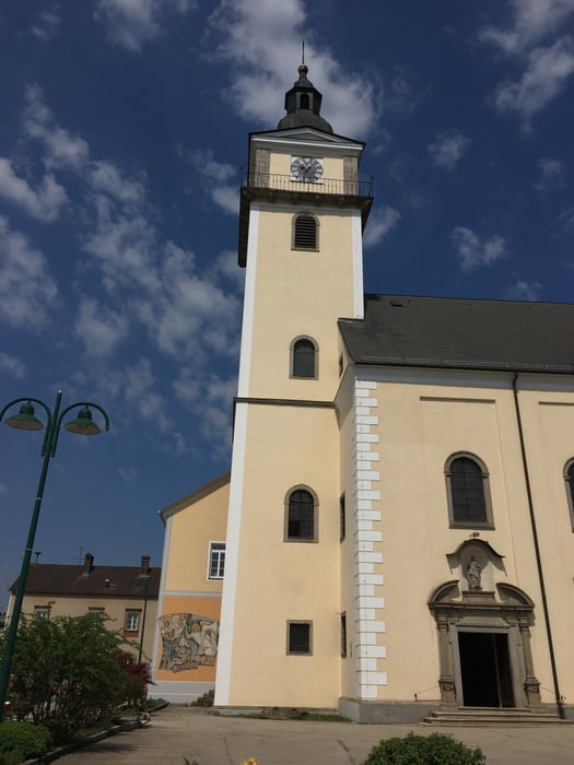
Parkmöglichkeit bei der Kirche in windhaag kostenfrei 

GPS tracks

Trackpoints
  • GPX / Garmin Map Source (gpx) download
  • TCX / Garmin Training Center® (tcx) download
  • CRS / Garmin Training Center® (crs) download
  • Google Earth (kml) download
  • G7ToWin (g7t) download
  • TTQV (trk) download
  • Overlay (ovl) download
  • Fugawi (txt) download
  • Kompass (DAV) Track (tk) download
  • Track data sheet (pdf) download
  • Original file of the author (gpx) download

More about the tour author

markus8529
Member since 2017

Send private message
Share track
Add to my favorites
Remove from my favorites
Edit tags
My score
Rate
Track: ÖAMTC Marathon windhaag
Type: Mountain bike
Distance: 49,4 km
Evaluated on:
Duration:
Day(s)
Hour(s)
Minute(s)
Score: Landscape Fun factor Fitness Technique