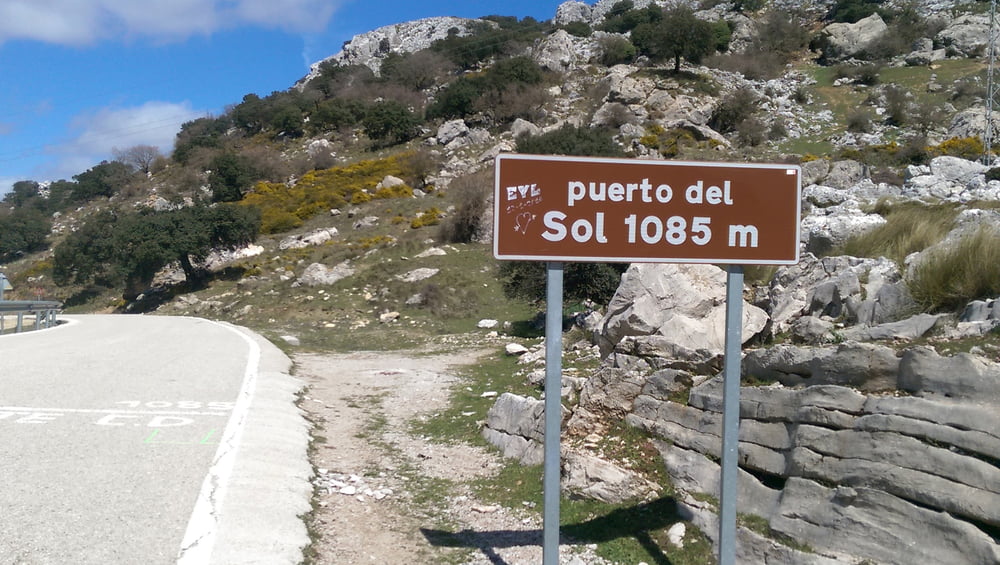
Wir sind bei Vinuela gestartet, da wir dort einen guten Parkplatz gefunden haben. Bei der Fahrt Richtun Norden hat dann das Garmin einen AUssetzer gehabt, deshalb feelen ein paar Daten. Aber die Richtung Puente de Don Manuel ist einfach zu finden und ab dort wird die Strasse immer einsamer. Zwingend muss man aber die Abzweigung Richtung Puerto del Sol machen, denn dann wird es noch einsamer und noch schöner. Toller Blick Richtung See und Meer, Anstiege bleiben bei unter 10%. Aber dabei bleibt es nicht. Wenn man dann wieder Richtung Süden fährt, kommt man durch einen Naturpark und man hat die ideale Mischung aus guter Strasse, Abfahrt und superschöner Landschaft. Diese Abfahrt war ein absoluter Höhepunkt unseres Andalusien Urlaubs. Am Südende des Sees gibt es dann wieder mehr Verkehr, ist aber nicht besonders lästig.
Tour gallery
Tour map and elevation profile
Minimum height 164 m
Maximum height 1104 m
Comments

GPS tracks
Trackpoints-
GPX / Garmin Map Source (gpx) download
-
TCX / Garmin Training Center® (tcx) download
-
CRS / Garmin Training Center® (crs) download
-
Google Earth (kml) download
-
G7ToWin (g7t) download
-
TTQV (trk) download
-
Overlay (ovl) download
-
Fugawi (txt) download
-
Kompass (DAV) Track (tk) download
-
Track data sheet (pdf) download
-
Original file of the author (gpx) download
Add to my favorites
Remove from my favorites
Edit tags
Open track
My score
Rate


