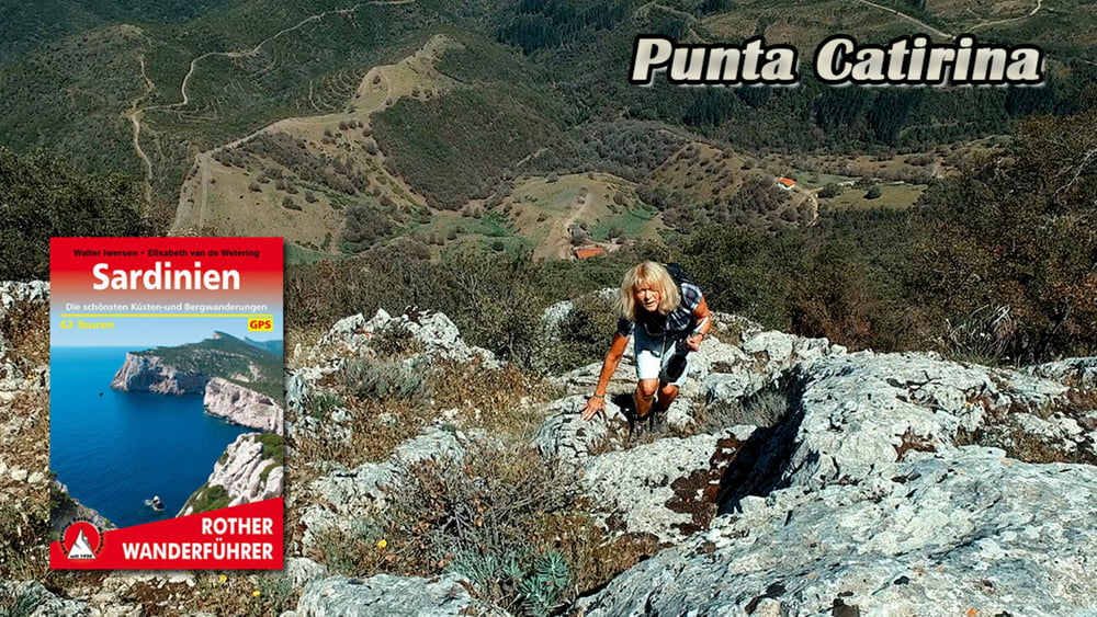
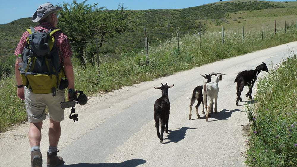
Von der Provinzstraße SP3 starten wir unsere Wanderung zum Gipfel Punta Catirina (1127m). Der rot - weiß Markierte Weg verläuft gleichmäßig ansteigend durch dichten Eichenwald zur Hochebene. Nach dem Verlassen der Baumgrenze folgt ein Serpentinenpfad über eine Felspassage zu einem kl. Plateau.
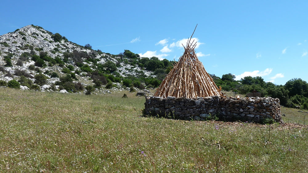
Durch Wacholderbäumen und Mastixsträucher gehen wir zu einem Querweg hinunter, der uns auf die Freifläche Su Campu ‚e Susu führt. Wir überqueren das weite Feld und gehen durch eine Felsrinne weiter Bergan.
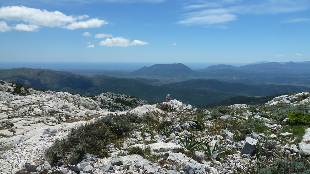
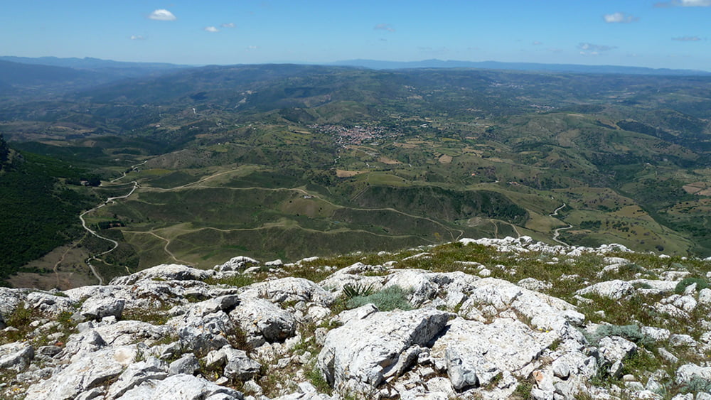
Ein hölzerner Wegweiser zeigt nach rechts zum Gipfel Punta Catirina. Belohn für die Anstrengung werden wir mit einem grandiosen Ausblick belohnt.
Über einen sehr geröllhaltigen Weg schlagen wir den Abstieg in Richtung Nurai ein. Durch den schmalen Taleinschnitt von Nurai gelangen wir zu einer Felsschneise an der Nordwand der Punta Catarina.
Über die erreichte Asphaltstraße gelangen wir wieder zum Auto.
Tour gallery
Tour map and elevation profile
Comments

GPS tracks
Trackpoints-
GPX / Garmin Map Source (gpx) download
-
TCX / Garmin Training Center® (tcx) download
-
CRS / Garmin Training Center® (crs) download
-
Google Earth (kml) download
-
G7ToWin (g7t) download
-
TTQV (trk) download
-
Overlay (ovl) download
-
Fugawi (txt) download
-
Kompass (DAV) Track (tk) download
-
Track data sheet (pdf) download
-
Original file of the author (gpx) download

