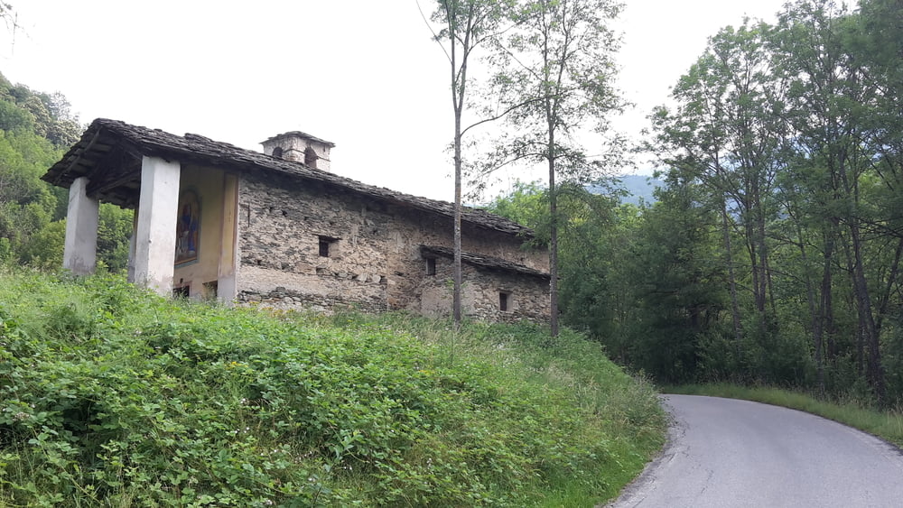
MTB-Tour mit Start in San Damiano Macra
Sehr schöne und ruhige Auffahrt über schmale Bergstassen und Wege, weiter Fahrt nach Colle Birrone über Höhenstraße mit tollen Ausblicken wenn kein Nebel ist. Abfahrt nach St. Anna über Wald und Schotterwege mit kurzen Gegenanstiegen.
Tour gallery
Tour map and elevation profile
Minimum height 755 m
Maximum height 1740 m
Comments

GPS tracks
Trackpoints-
GPX / Garmin Map Source (gpx) download
-
TCX / Garmin Training Center® (tcx) download
-
CRS / Garmin Training Center® (crs) download
-
Google Earth (kml) download
-
G7ToWin (g7t) download
-
TTQV (trk) download
-
Overlay (ovl) download
-
Fugawi (txt) download
-
Kompass (DAV) Track (tk) download
-
Track data sheet (pdf) download
-
Original file of the author (gpx) download
Add to my favorites
Remove from my favorites
Edit tags
Open track
My score
Rate


