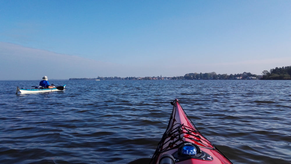
Schöne Fahrt über ein echtes Großgewässer. Zum Saisonende waren nur noch wenig Segelboote auf dem Wasser. Von November bis März herrscht Befahrungsverbot.
Tour gallery
Tour map and elevation profile
Minimum height 22 m
Maximum height 54 m
Comments

Mit dem Auto zum Parkplatz am Lüerßendamm in Hagenburg. Vom Kanal aus ins Meer stechen.
GPS tracks
Trackpoints-
GPX / Garmin Map Source (gpx) download
-
TCX / Garmin Training Center® (tcx) download
-
CRS / Garmin Training Center® (crs) download
-
Google Earth (kml) download
-
G7ToWin (g7t) download
-
TTQV (trk) download
-
Overlay (ovl) download
-
Fugawi (txt) download
-
Kompass (DAV) Track (tk) download
-
Track data sheet (pdf) download
-
Original file of the author (gpx) download
Add to my favorites
Remove from my favorites
Edit tags
Open track
My score
Rate


