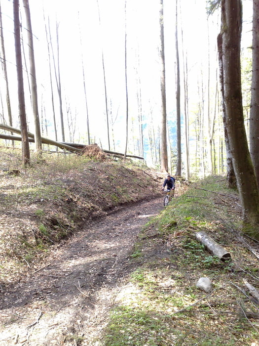
Durch Moor & Wald führen verschlungene Wege nach Schleching. Die folgende Anstrengung bergauf wird bei der Einkehr im historischen Berggasthof Streichen in jeden Fall belohnt.
Zurück auf dem Rad führt die Tour bergauf zur Gscheuer Wand, wo ein toller Ausblick über das Achental bis hinaus zum Chiemsee wartet.
Zurück geht es dann hinab nach Unterwössen und Marquartstein.
Tour gallery
Tour map and elevation profile
Minimum height 541 m
Maximum height 1142 m
Comments

A8 München- Salzburg Aussfahrt Bernau; weiter Richtung Reit i. Winkl, Startplatz Marquartstein
GPS tracks
Trackpoints-
GPX / Garmin Map Source (gpx) download
-
TCX / Garmin Training Center® (tcx) download
-
CRS / Garmin Training Center® (crs) download
-
Google Earth (kml) download
-
G7ToWin (g7t) download
-
TTQV (trk) download
-
Overlay (ovl) download
-
Fugawi (txt) download
-
Kompass (DAV) Track (tk) download
-
Track data sheet (pdf) download
-
Original file of the author (gpx) download
Add to my favorites
Remove from my favorites
Edit tags
Open track
My score
Rate


