


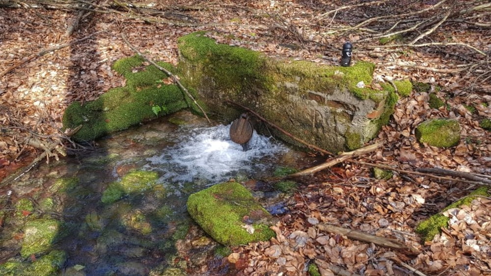
Vom WoMo-Stellplatz an der Therme ging es erst mal noch Bad Orb rein. Eine kurze Stadtdurchquerung bis es dann in das Haseltal hinein ging. Sehr schöne Wege bis zur Haselruh. Hier auch die erste Quelle. Von nun an ging es mäßig aufwärts bis wir am Hohen Kreuz einen kurzen Ritt auf dem Eselsweg machen. Ein schöner Trail, leider noch etwas naß der Boden. Nun über den Rosskopf und dann hinunter zur Schweinstallquelle und der Orbquelle. Nach der Straßenquerung ein wirklich heftiger Anstieg. Vorbei am Golfplatz geht es dann hinauf zum Horst, dem höchsten Punkt der Tour. Nun führt die Tour auf einer abwechslungsreichen Strecke über die Bieberer Hütte zum Pfarrküppel. Hier nochmal ein ausgewaschener Waldweg, bevor es über den Haberstal-Trail wieder zum Stellplatz zurück geht. #noebike
Tour gallery


Tour map and elevation profile
Minimum height 170 m
Maximum height 554 m
More about the tour author
|
|
mh021255 |
Comments

GPS tracks
Trackpoints-
GPX / Garmin Map Source (gpx) download
-
TCX / Garmin Training Center® (tcx) download
-
CRS / Garmin Training Center® (crs) download
-
Google Earth (kml) download
-
G7ToWin (g7t) download
-
TTQV (trk) download
-
Overlay (ovl) download
-
Fugawi (txt) download
-
Kompass (DAV) Track (tk) download
-
Track data sheet (pdf) download
-
Original file of the author (gpx) download
More about the tour author
|
|
mh021255 |
Add to my favorites
Remove from my favorites
Edit tags
Open track
My score
Rate