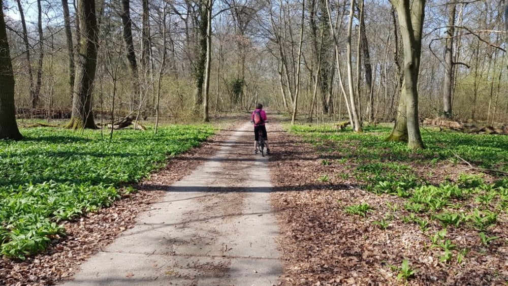
Heute mal wieder die Kühkopfrunde. Start war in Gernsheim. Ein großteil der Strecke fährt man auf oder neben einem Deich, man hat also meistens gute Sicht über die Landschaft. Nachdem wir den Kühkopf uns angeschaut hatten, ging es über die Knoblauchsaue nach Kornsand. Hier die erste Einkehrmöglichkeit an der Fähre. Nach dem Übersetzten nach Nierstein dann auf der anderen Seite wieder zurück. Unterwegs einen Einkehrschwung in den Rheinhof. Zum Schluß wieder mit der Fähre hinüber nach Gernsheim. #noebike
Tour gallery
Tour map and elevation profile
Minimum height 82 m
Maximum height 102 m
Comments

GPS tracks
Trackpoints-
GPX / Garmin Map Source (gpx) download
-
TCX / Garmin Training Center® (tcx) download
-
CRS / Garmin Training Center® (crs) download
-
Google Earth (kml) download
-
G7ToWin (g7t) download
-
TTQV (trk) download
-
Overlay (ovl) download
-
Fugawi (txt) download
-
Kompass (DAV) Track (tk) download
-
Track data sheet (pdf) download
-
Original file of the author (gpx) download
Add to my favorites
Remove from my favorites
Edit tags
Open track
My score
Rate


