


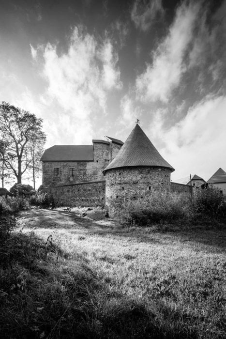
Der Granitpilgern-Wanderweg führt in drei bis vier Tagesetappen auf einer Gesamtlänge von rund 90 Kilometern durch die südöstliche Region des Bezirkes Rohrbach. 10 Gemeinden von St. Martin bis Helfenberg sind durch den Weg verbunden. Die Beschilderung verläuft im Uhrzeigersinn. Start ist in St. Martin beim Granitpilgern-Monument, der Einstieg ist grundsätzlich überall entlang des Rundweges möglich.
Further information at
https://www.granitpilgern.atTour gallery
Tour map and elevation profile
Minimum height 448 m
Maximum height 765 m
More about the tour author
|
|
granitpilgern |
Comments

GPS tracks
Trackpoints-
GPX / Garmin Map Source (gpx) download
-
TCX / Garmin Training Center® (tcx) download
-
CRS / Garmin Training Center® (crs) download
-
Google Earth (kml) download
-
G7ToWin (g7t) download
-
TTQV (trk) download
-
Overlay (ovl) download
-
Fugawi (txt) download
-
Kompass (DAV) Track (tk) download
-
Track data sheet (pdf) download
-
Original file of the author (gpx) download
More about the tour author
|
|
granitpilgern |
Add to my favorites
Remove from my favorites
Edit tags
Open track
My score
Rate