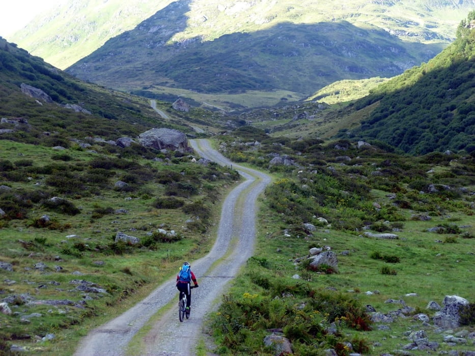
Eine nicht zu anstrengende und technisch einfache Alpenüberquerung. Start ist in St. Anton, Ziel der Gardasee.
Sieben Tage sind realistisch, der erste Tag ist durch eine Panne bei der Anfahrt wirklich nur sehr kurz.
1. Tag St. Anton 1248m – Verwalltal – Konstanzer Hütte 1688m 2. Tag Konstanzer Hütte 1688m – Schönverwalltal - Verbellener Winterjöchli 2280m – Zeinisjoch 1842 – Paznauntal - Fimbertal - Berggasthof Bodenalpe 1848m 3. Tag Berggasthof Bodenalpe 1848m - Zeblasjoch 2539m - Samnauntal - Nauders 1394m 4. Tag Nauders 1394m - Reschenpass 1507m - Etschtal - Naturns 508m 5. Tag Naturns 584m - Naturnser Alm 1912m - St. Pankraz 736m 6. Tag St. Pankraz 736m - Spitzenalm 1859m - Gampenalm 1785m - Hochmadjoch 1785m - Brez 792m 7. Tag Brez 792m - Andalo Sattel 1123m - Andalo 1040m 8. Tag Andalo 1040m – Lago di Molveno – Lago di Toblino – Lago di Cavedine – Riva
Further information at
http://benignus.de/mountainbike/eine-alpenueberquerung-fuer-einsteigerTour gallery
Tour map and elevation profile
Minimum height 75 m
Maximum height 2547 m
Comments

Von Innsbruck gibt es eine Bahnverbindung nach St. Anton.
Achtung, die Radmitnahme ist nur mit vorheriger Reservierung möglich.
GPS tracks
Trackpoints-
GPX / Garmin Map Source (gpx) download
-
TCX / Garmin Training Center® (tcx) download
-
CRS / Garmin Training Center® (crs) download
-
Google Earth (kml) download
-
G7ToWin (g7t) download
-
TTQV (trk) download
-
Overlay (ovl) download
-
Fugawi (txt) download
-
Kompass (DAV) Track (tk) download
-
Track data sheet (pdf) download
-
Original file of the author (gpx) download
Add to my favorites
Remove from my favorites
Edit tags
Open track
My score
Rate


