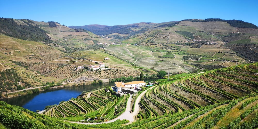
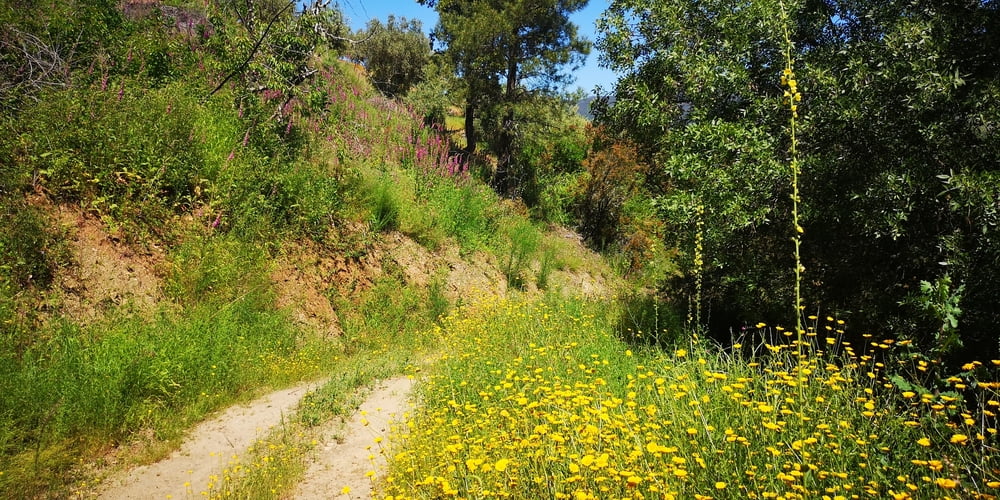
Ich war zu Gast bei der Quinta und habe da eine kleine Wanderung durch die Weingärten unternommen. Auch schon von der Quinta aus hat man einen herrlichen Ausblick.
Tour gallery
Tour map and elevation profile
Minimum height 81 m
Maximum height 501 m
Comments

Ausgangspunkt ist HOTEL RURAL QUINTA DO PÉGO. Hier ist auch ein kleiner Verkaufsraum von eigenen Portweinen angegliedert. Die Anfahrt über eine schmale Straße ist etwas abenteuerlich. Es gibt keine Ausweichmöglichkeiten wenn einem einer entgegenkommt. Deshalb gibt es ein Ampelsystem. Falls die Ampel länger als 5 Minuten Rot ist dann ist sie defekt – ist bei mir vorgekommen.
GPS tracks
Trackpoints-
GPX / Garmin Map Source (gpx) download
-
TCX / Garmin Training Center® (tcx) download
-
CRS / Garmin Training Center® (crs) download
-
Google Earth (kml) download
-
G7ToWin (g7t) download
-
TTQV (trk) download
-
Overlay (ovl) download
-
Fugawi (txt) download
-
Kompass (DAV) Track (tk) download
-
Track data sheet (pdf) download
-
Original file of the author (gpx) download
Add to my favorites
Remove from my favorites
Edit tags
Open track
My score
Rate


