Login

Forgotten password?

Cookies have to be accepted!
Your browser's cookie functionality is disabled. Please enable this functionality.

Not a member yet?

Register now
Login

Available for registred users only

Log in to use this feature.

Forgotten password?

Cookies have to be accepted!
Your browser's cookie functionality is disabled. Please enable this functionality.

Not a member yet?

Register now
Filter
Categories
Advanced filters
  • Distance (km)
  • Height
Save filters Reset filter

TrackRank

QRCode

Technical data

Distance11,9 km Height671 m Way down708 m Duration05:00 h:m Date09.08.2019
Scores Author Landscape Fun factor Fitness Technique

Statistics

128 Views Scores 15 Downloads Average
Rate
  • Track data sheet
  • Directions
  • Downloads

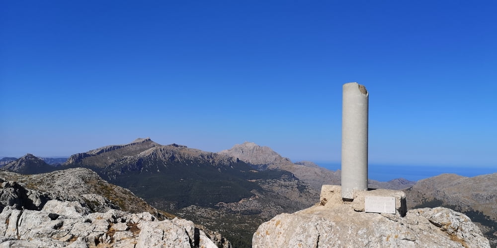
Eigentlich eine gut Ausgeschilderte alpine Wanderung. Im Felsgebiet gibt es Hinweispfosten mit Pfeilen oben drauf. Wenn man von unten kommt ist der Pfeil für mich nicht gleich sichtbar gewesen. Bin dann eine Rinne hochgeklettert was falsch war und in wilde Kletterei endete. Bin dann wieder umgedreht um auf den richtigen Weg zu kommen. Danach war der Weg wieder einfacher. Es gibt dann noch zwei mit Ketten gesicherte Stellen die aber ohne Probleme gegangen werden können. Mein Irrweg vorher war da wesentlich Anspruchsvoller. Wenn es zu Schwierig wird ist man bestimmt falsch.

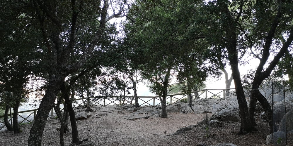
Am Anfang der Wanderung gibt es gut angelegte Wanderwege bzw. Forststraßen. Hier stößt man dann auch auf einen Wegweiser zu einem Mirador. Der Besuch lohnt sich!


Tour gallery

Tour map and elevation profile

  • Open Street Map
  • Google
Minimum height 536 m Maximum height 1104 m Detailed view

More about the tour author

JoachimDief
Member since 2016

Send private message

Comments

Kostenloser Parkplatz Son Amer an der MA-10

GPS tracks

Trackpoints
  • GPX / Garmin Map Source (gpx) download
  • TCX / Garmin Training Center® (tcx) download
  • CRS / Garmin Training Center® (crs) download
  • Google Earth (kml) download
  • G7ToWin (g7t) download
  • TTQV (trk) download
  • Overlay (ovl) download
  • Fugawi (txt) download
  • Kompass (DAV) Track (tk) download
  • Track data sheet (pdf) download
  • Original file of the author (gpx) download

More about the tour author

JoachimDief
Member since 2016

Send private message
Share track
Add to my favorites
Remove from my favorites
Edit tags
My score
Rate
Track: Puig de Tomir
Type: Hiking
Distance: 11,9 km
Evaluated on:
Duration:
Day(s)
Hour(s)
Minute(s)
Score: Landscape Fun factor Fitness Technique